What is recorded here
Aerial photograph taken by Leo Swan shows various cropmarks (LS_AS_35CT_00042_16m)scattered throughout the field which was an old forest annotated as 'Crooked Wood' on the 1837 ed. OS 6-inch map. Visible on the aerial photograph is the cropmark of a linear earthwork in NE corner of field which could be the remains of an old roadway. To the S of the linear earthwork in E corner of the field is the cropmark of a large rectangular earthwork. To the W of this rectangular cropmark located in the bottom centre of the photo in the S quadrant of the field is the cropmark of a circular shaped enclosure with D-shaped annexe on S side. This could be the cropmark of a levelled ringfort with annexe. To the W of this cropmark there is the curving line of a ditch running N towards NW corner of field where there appears to be the cropmark of a large circular-shaped enclosure (Manning 1985, 23).
Compiled by: Caimin O'Brien based on details kindly provided by Katherine Daly
Date of upload: 17 April 2018
The monument record does not grant public access. Check the route and ask the landowner before entering private land.
- What survives
- Recorded monument
Places near here
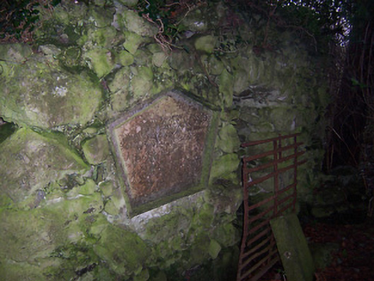 Bracklyn Housemausoleum · 1.1 mi
 Martinstown Castle in RuinsCastle, tower house · 1.7 mi
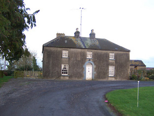 Ashlawnhouse · 1.8 mi
 OutlinedFairy fort / earthen ringfort · 2.1 mi
 ScregganWood · 2.2 mi
 Enclosure in Joristown LowerEnclosure · 2.6 mi
 Killagh Ho. & CastleCastle, tower house · 2.6 mi
 GinkgoGinkgo · 4.0 mi
 Kells HillMountain / peak · 8.6 mi
 Croppies' GraveMemorial · 9.4 mi
 Slieve GullionMountain / peak · 9.8 mi
 Delvin Substationelectricity substation · 2.0 mi
Other information
Photo: Credit not shown in the picture search · Rights wording not checked; contact us if this picture should be removed