
What is recorded here
Modern houses located on site of flat cemetery possibly dating from the Bronze Age. Flat cemetery discovered in the late 1950s and described by the National Museum of Ireland as following; 'Human skeleton. Cartenstown td., Co. Westmeath. Found about 10 inches [0.25m] below the surface while digging in a garden. It…
Read the whole record
From the National Monuments Service (Archaeological Survey of Ireland) record WM013-064
Places near here
Photo credits
- National Inventory of Architectural Heritage
- Maker not stated on source page, www.flickr.com
- Maker not stated on source page, en.wikipedia.org
- Maker not stated on source page, www.thinkbusiness.ie
- Photographer not expressly credited for the aerial photo; Jayde G Forde wrote the article and is credited for a separate people photograph, www.westmeathexaminer.ie
- Mike Searle, Wikimedia Commons · CC BY-SA 2.0
- Maker not stated on source page, pixels.com
- Eric Jones, Wikimedia Commons · CC BY-SA 2.0
 Rockview HouseDemesne walls/gates/railings · 822 yd
Explorer Tom Rockview House walls are asking the local sheep for their opinion on the ironwork, and I swear the sheep have said it’s…
 Bridge in BallynacorBridge · 967 yd
Explorer Tom Bridge in Ballynacor has a rivalry with the other bridge because nobody knows exactly where this one actually is. It…
 CastleCastle, unclassified · 967 yd
Explorer Tom Castle in Ballynacor is hiding behind a shortcut that isn't actually a shortcut at all. It’s got a garrison of ghosts…
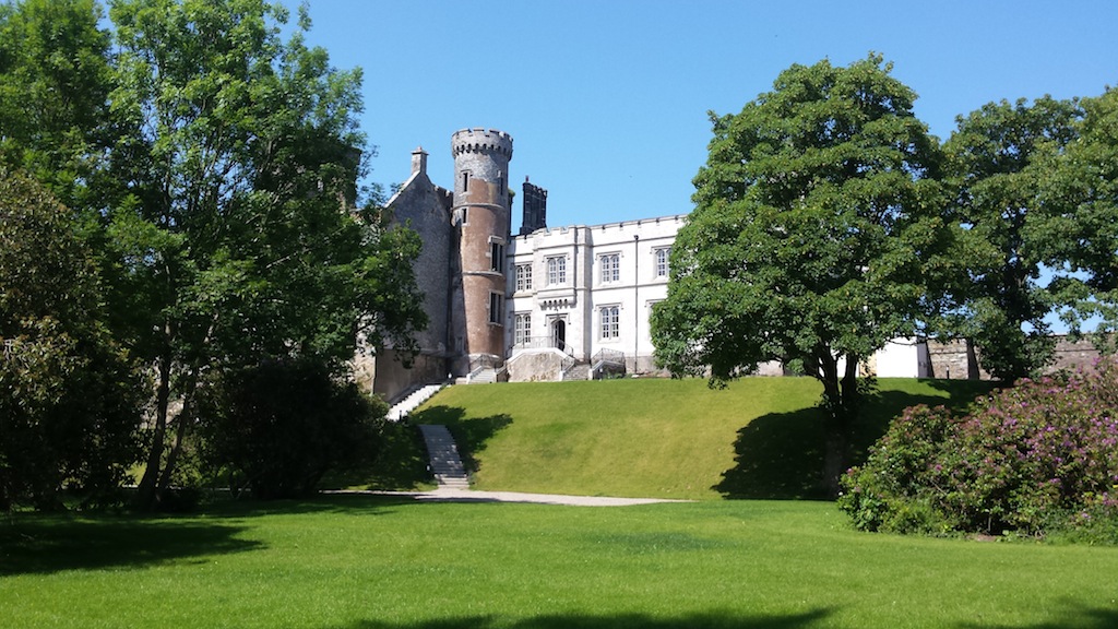 Billistown Castle in ruinsCastle, hall-house · 1437 yd
Explorer Tom Billistown Castle would give you two stars because you were too loud and didn’t appreciate its historic conversion from…
 Dysart HouseDemesne walls/gates/railings · 1457 yd
Explorer Tom Dysart House gates are flamboyant Greek Revival ironwork that have an imaginary twin across the sea who is constantly…
 Delvin GAA pitchGAA ground · 1649 yd
 Martinstown Castle in RuinsCastle, tower house · 1657 yd
Explorer Tom Martinstown Castle in Ruins is playing hard to get on that rock outcrop. I heard a dance was held there once, but the…
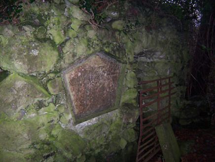 Bracklyn HouseMausoleum · 1.3 mi
Explorer Tom Bracklyn House mausoleum in County Westmeath is currently in a bitter feud with the rain, claiming it’s too aggressive.…
 Fairy fort / ringfort in Balrath North (delvin By.)Fairy fort / ringfort · 1.3 mi
Explorer Tom Fairy fort / ringfort in Balrath North was once home to a fiddler who played so well the stones started dancing, then…
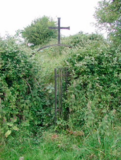 graveyard/cemetery1.4 mi
Explorer Tom The graveyard in Castletowndelvin thinks the road leading to it is personally rude, so it has arranged its headstones…
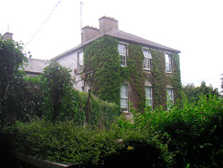 BelmontRectory/glebe/vicarage/curate's house · 1.5 mi
Explorer Tom Belmont in Castletowndelvin has a shortcut that isn't actually a shortcut at all! It was a rectory, so it’s got that…
 Delvin CastleVisitor attraction · 1.6 mi
Explorer Tom Delvin Castle has been locked in a bitter, centuries-long feud with the rain, and honestly, the castle is winning. The…
More memorials and graveyards in County Westmeath · All of County Westmeath

What do you know about this place?Tap to add a comment or ask a question