What is recorded here
The precise location of the medieval bridge in the townland of ballynacor has not been identified. A road (WM013-117----) connecting Trim in Co. Meath to Athlone passed over one of two bridges in the townland of Ballynacor. The terrier of the 1655 Down Survey map of Killulagh parish stated that 'There is a greate Roade through this Towne from Kells and Trym to Athlone and other places by reason of two Bridges' (NLI, MS 723-4). The two medieval bridges (WM011-063----) were located on the E and W boundary of the townland of Ballynacor. One of the bridges spanned the River Dell on the W boundary while a second bridge crossed the stream marking the E boundary. This latter bridge stood in close proximity to Ballynacor Castle and was depicted on the 1655 Down Survey map of Killulagh parish. This would place the bridge in close proximity to the present Cloughan Cross-Roads.
Compiled by: Caimin O'Brien
Date of upload: 13 July 2018
The monument record does not grant public access. Check the route and ask the landowner before entering private land.
- What survives
- Recorded monument
Places near here
 OutlinedFairy fort / earthen ringfort · 355 yd
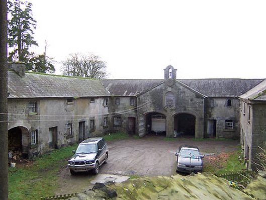 Rockview Housestables · 675 yd
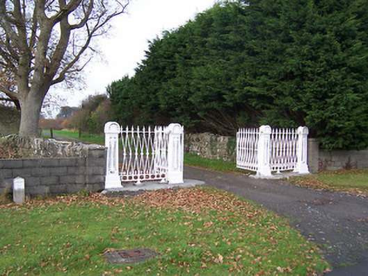 Dysart Housedemesne walls/gates/railings · 1255 yd
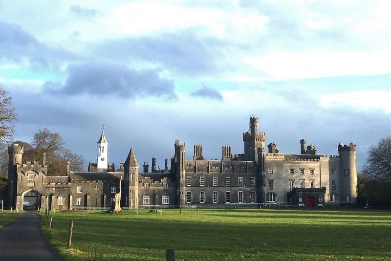 Mulchans Castle in ruinsCastle, tower house · 1.2 mi
 Martinstown Castle in RuinsCastle, tower house · 1.3 mi
 Tober LuibeHoly well · 1.3 mi
 GinkgoGinkgo · 2.1 mi
 ScregganWood · 4.3 mi
 Kells HillMountain / peak · 7.3 mi
 Seafin HillMountain / peak · 8.5 mi
 Croppies' GraveMemorial · 11 mi
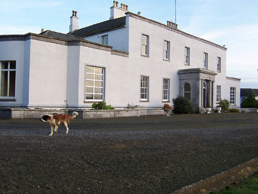 Bracklyn Housecountry house · 1.2 mi