
What is recorded here
In undulating glacial pasture on the immediate N bank of a dredged stream that marks the townland boundary with Clonleame. The standing stone is located 25m W of a local road that bisects both Clonmorrill and Clonleame townlands. The stone is situated at the S end of a large field reclaimed in 2018. There are few…
Read the whole record
From the National Monuments Service (Archaeological Survey of Ireland) record WM014-027
Places near here
Photo credits
- National Inventory of Architectural Heritage
- Rathkennamike2, Wikimedia Commons · CC BY-SA 4.0
- Maker not stated on source page, pixels.com
- Mike Searle, Wikimedia Commons · CC BY-SA 2.0
- Maker not stated on source page, leadingestates.com
- Eric Jones, Wikimedia Commons · CC BY-SA 2.0
- Sitomon, Wikimedia Commons · CC BY-SA 2.0
- Maker not stated on source page, commons.wikimedia.org
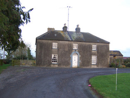 AshlawnHouse · 1631 yd
Explorer Tom Ashlawn was once offered to a cow who actually had cash saved up for it. The animal refused because the roof wasn’t…
 Lisclogher BridgeBridge · 1.2 mi
Explorer Tom Lisclogher Bridge would be the best dance partner at a wedding, moving in slow, steady rhythms that never miss a beat…
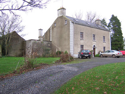 Clonmaskill HouseHouse · 1.2 mi
Explorer Tom Clonmaskill House is showing off its carved door like it won a prize at the local fair. It must be really proud of…
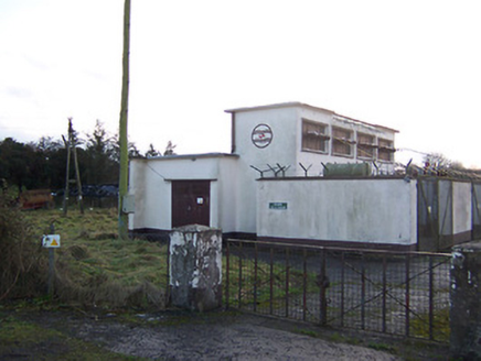 Delvin SubstationElectricity substation · 1.3 mi
Explorer Tom Delvin Substation is a concrete box from the 1940s that thinks it’s an art piece because it has no decorations. Its…
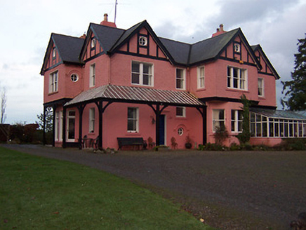 Lisclogher HouseHouse · 1.3 mi
Explorer Tom Lisclogher House was built by a colonel who thought he was in England, not the midlands. It looks like a seaside villa…
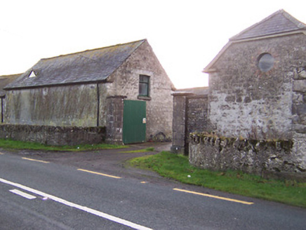 South HillStables · 1.5 mi
Explorer Tom South Hill stables are part of a grand complex that looks like it was designed by a very particular mother-in-law with…
 Fairy fort / ringfort in Balrath North (delvin By.)Fairy fort / ringfort · 1.8 mi
Explorer Tom Fairy fort / ringfort in Balrath North was once home to a fiddler who played so well the stones started dancing, then…
 Martinstown Castle in RuinsCastle, tower house · 1.9 mi
Explorer Tom Martinstown Castle in Ruins is playing hard to get on that rock outcrop. I heard a dance was held there once, but the…
 CastleCastle, unclassified · 2.3 mi
Explorer Tom There’s another castle in Castletowndelvin that’s been lost since 1659, allegedly because it was too busy being a…
 Delvin CastleVisitor attraction · 2.4 mi
Explorer Tom Delvin Castle has been locked in a bitter, centuries-long feud with the rain, and honestly, the castle is winning. The…
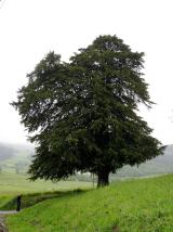 European Yew2.8 mi
Explorer Tom European Yew in County Westmeath has a family tree that is mostly made up, which fits perfectly with how I tell my…
 Earthwork in CraddanstownEarthwork · 3.6 mi
Explorer Tom Earthwork in Craddanstown is having a massive row with its neighbour over who planted the fence first, and honestly, it…
More archaeology and monuments in County Westmeath · All of County Westmeath

What do you know about this place?Tap to add a comment or ask a question