DDiscover AloneMapAbout

Cist in Riverstown

Cist
Computer-made picture that does not show Cist in RiverstownNot a photo of this monument
Computer-made picture. It does not show this monument. · Report the wrong picture

The monument record does not grant public access. Check the route and ask the landowner before entering private land.

What do you know about this place?Tap to add a comment or ask a question

What you write will be public.

What is recorded here

Cahill and Sikora (2011, 54752) record that ‘in late April 1969 a short cist containing an inhumation and a bowl was found during ploughing on a farm near Killucan, Co. Westmeath. The discovery was made when the plough struck the capstone at a depth of 0.2m and broke it into three pieces. When a piece of the stone was…

Read the whole record
Cahill and Sikora (2011, 54752) record that ‘in late April 1969 a short cist containing an inhumation and a bowl was found during ploughing on a farm near Killucan, Co. Westmeath. The discovery was made when the plough struck the capstone at a depth of 0.2m and broke it into three pieces. When a piece of the stone was removed, the cist and its contents were revealed. In attempting to remove the vessel, the skeleton was disturbed and the vessel shattered. The site was reported to the NMI by Mrs Ruth Vandeleur of Wardenstown, Co. Meath, and a rescue investigation was undertaken by John Waddell. This report is based on Waddell's account of the site. The human remains were examined by Laureen Buckley. The cist was in the townland of Riverstown, south-east Co. Westmeath, just 5km west of the Meath border. The site was a gently rounded gravel hillock approximately 90m above sea level. In 1963 a short cist containing a bowl and a cremation was excavated in the neighbouring townland of Mill Land (Rynne 1964,114), and another early Bronze Age cist is known from Balrowan townland, approximately 1km north-west of that at Riverstown. Further north, at Huntingdon, a cist containing a crouched skeleton was discovered (Waddell 1990,150). While investigating the cist burial, the landowner informed Waddell that a farmer in the neighbouring farm, also in Riverstown townland, had ploughed up some human remains the previous year. No further information was available. The short cist was rectangular in plan, with its long axis aligned east/west. It measured 1.2m long by 0.6m wide by 0.61m deep internally. The northern and southern walls were each formed of a single edge-set slab, while that at the east was formed of two slabs placed parallel to each other. The innermost slab was somewhat irregular in form; its straight edge was placed uppermost and it effectively sealed the upper half of the eastern end of the cist. The consequent gap at the base of the eastern end was filled with small rounded boulders. The western end of the cist was formed of a single rounded boulder onto which a single course of rounded stones had been placed. The cist was sealed by a rectangular capstone, which, when complete, measured 1.6m long by 1.2m wide by 0.27m thick. The floor of the cist was paved with small flat slabs, averaging 0.2m long by 0.15m wide by 0.06m thick. The cist contained a crouched inhumation of an older adult male (1969:672) tripartite bowl. The body lay on its right side with the head in the eastern end, facing north. The bones of the skeleton, a male aged over 50 at death, had only been slightly disturber discovery, and the skull and long bones lay more or less in their presumed original position. The smaller bones, notably of the hands and feet, and apparently some of the vertebrae disintegrated. The left hand of the skeleton was flexed at right angles to the upper arm and lay across the abdomen, and the end of the ulna and the radius almost touched the sherds vessel. The bowl had originally stood mouth upwards between the chest of the body an northern side wall. A sample of collagen produced a date of 3645±30 BP,348 which calibrates to 2134-1926 BC at 95.4% probability. Brindley (2007, 245) places this vessel in stage 2 of the development of bowl tradition pottery, which is dated to 2080-1980 BC'.

From the National Monuments Service (Archaeological Survey of Ireland) record WM027-018

Places near here

Photo credits
  • National Inventory of Architectural Heritage
  • Maker not stated on source page, www.britainexpress.com
  • Maker not stated on source page, www.flickr.com
  • Scaramanga731, Wikimedia Commons · CC BY-SA 4.0
  • Royalcanalrunner, Wikimedia Commons · CC BY-SA 4.0
  • JP, Wikimedia Commons · CC BY-SA 2.0
  • Maker not stated on source page, www.airbnb.co.za
  • Maker not stated on source page, www.pinterest.com
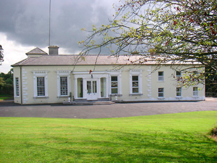
Saint CamillusHouse · 533 yd

Explorer Tom Saint Camillus would survive a zombie attack by locking its doors and using its elaborate window surrounds as…

Standing stone in Porterstown (cooke)Standing stone · 599 yd

Explorer Tom Standing stone in Porterstown is guarding a hidden treasure that is definitely just a rusty biscuit tin from 1952 that…

gates/railings/walls713 yd

Explorer Tom Gates in Rathwire Lower is playing hard to get on Riverstown Road. It’s got that Long Longford vibe but no actual doors…

Riverstown LodgeHouse · 757 yd

Explorer Tom Riverstown Lodge in Riverstown hears everything through its walls, especially the neighbors arguing about whose turn it…

Rathwire Moat & CastleCastle, unclassified · 930 yd

Explorer Tom Rathwire Moat & Castle loves to sing 'Sweet Caroline' but only in a minor key because it’s feeling dramatic today. It’s…

water pump965 yd

Explorer Tom Water pump in Rathwire Lower caused a massive parish argument over who gets to use it first. The whole village was up…

21st LockLock · 1001 yd

Explorer Tom Lock 21 is the shortcut that isn't, because getting through it takes longer than just driving around the whole county.…

Heatherstown BridgeBridge · 1031 yd

Explorer Tom Heatherstown Bridge is hiding a treasure chest right under its arches, and I promise you it’s definitely just a rusted…

22nd LockLock · 1041 yd

Explorer Tom 22nd Lock in Riverstown had a matchmaker who worked there and paired off canal boats with each other based on their…
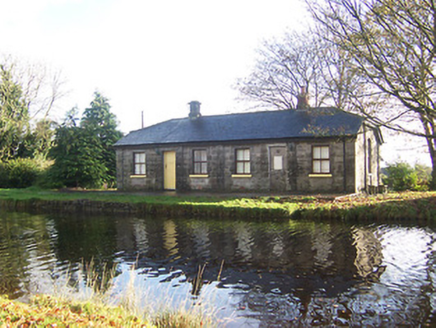
lock keeper's house1111 yd

Explorer Tom Lock keeper's house in Riverstown is haunted by the ghost of a terrible poem someone scribbled on the wall in 1890. It…
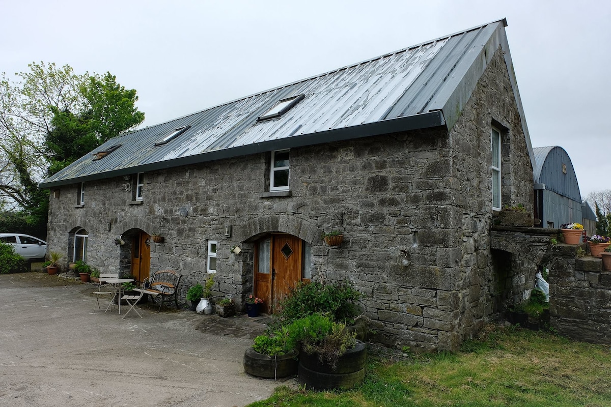
Cist in Balrowan (packenham)Cist · 1199 yd

Explorer Tom Cist in Balrowan has very strong opinions about modern buildings, specifically that they lack soul and are probably…

CastleCastle, unclassified · 1682 yd

Explorer Tom Castle in Cushinstown is playing hard to get, hiding behind a farmer's tractor that definitely isn't moving anytime…

More archaeology and monuments in County Westmeath · All of County Westmeath

Add to this placeAdd a picture Add a detailed tip Add a story

Explore the map1,095,414 places to discover

Next place · or swipeSaint Camillus