What is recorded here
Castle, unclassified is a forgotten tower in Cushinstown, County Westmeath, recorded ruinous in 1655 after belonging to James Cushens. It vanished from later maps and may still lie beneath a farmyard, waiting for someone to dig through grass and memory.
The precise location of this castle within the townland of Cushinstown has not been identified. The area marked on the Record of Monuments and Places Map [RMP] for Co. Westmeath is based on the 1654 Down Survey map of Farbill barony. No castle site or location is depicted on any edition of the OS 6-inch maps. A 19th century house and farmyard is located in the area marked on the RMP map of Co. Westmeath and there is no evidence of any castle at this location. The 1655 Down Survey map of Farbill barony depicts a tower house type castle standing in the centre of Cushinstown (NLI MS 723-4). In 1640 the lands of Cushinstown including the castle belonged to James Cushins (Cushen) (NLI MS 723-4). The terrier of the 1655 map records that ‘there is likewise at Cushingstown one Castle some what ruinous’ (NLI MS 723-4). After the Irish Confederate Wars of 1641-53 the forfeited lands of James Cushen were granted to the Protestant Bishop of Killalla.
Compiled by: Caimin O’Brien
Date of upload: 14 August 2013
The monument record does not grant public access. Check the route and ask the landowner before entering private land.
- What survives
- Recorded monument
Places near here
 19th Locklock · 74 yd
 20th Lockmilestone/milepost · 462 yd
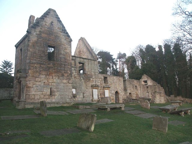 St. Bridgets WellHoly well · 668 yd
 Enclosure in AnnaskinnanEnclosure · 1246 yd
 CastleCastle, ringwork · 1250 yd
 Rathwire Moat & CastleCastle, motte and bailey · 1.1 mi
 ScregganWood · 5.5 mi
 Abandoned Kinnegad CanalWood · 5.6 mi
 Croppies' GraveMemorial · 6.8 mi
 18th Locklock · 601 yd
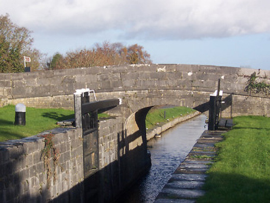 bridgebridge · 624 yd
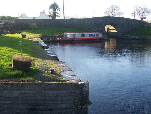 harbour/dock/portharbour/dock/port · 667 yd