What is recorded here
Situated in relatively low lying wet pasture, c. 60m SE of a stream. Monument described in 1971 as a raised roughly circular-shaped platform (dims. 33.5m E-W; 32m N-S) defined by an inner bank, an intervening fosse and an outer bank. The inner bank is high and steep on the exterior being best preserved from NNW-N-NNE…
Read the whole record
From the National Monuments Service (Archaeological Survey of Ireland) record WM027-026
Places near here
Photo credits
- National Inventory of Architectural Heritage
- Scaramanga731, Wikimedia Commons · CC BY-SA 4.0
- Royalcanalrunner, Wikimedia Commons · CC BY-SA 4.0
- JP, Wikimedia Commons · CC BY-SA 2.0
- Maker not stated on source page, www.pinterest.com
- Maker not stated on source page, www.britainexpress.com
- Photographer not named; image published by Ciarán Leech & Associates Ltd, www.ciaranleech.ie
 harbour/dock/port598 yd
Explorer Tom Harbour in Annaskinnan still echoes with a fiddler who never finished his tune. He's been playing the same three notes…
 bridge637 yd
Explorer Tom Bridge in Annaskinnan was supposedly built on a bargain so good the stonemason nearly fainted with shock at how cheap…
 18th LockLock · 661 yd
Explorer Tom Eighteenth Lock in Annaskinnan got lost on its way to being a fancy hotel and ended up stuck in a canal instead. It’s…
 Hyde ParkDemesne walls/gates/railings · 865 yd
Explorer Tom Hyde Park’s gates are sick of being asked if they lead to London, so I’d suggest you stop bothering them with that…
 D'Arcy's BridgeBridge · 882 yd
Explorer Tom D'Arcy's Bridge has a secret talent: it can hold its breath underwater better than any of us combined. It’s all about…
 canal (section of)921 yd
Explorer Tom This canal section in Thomastown has 'Dancing Queen' on repeat because it thinks water levels are basically a dance…
 19th LockLock · 1237 yd
Explorer Tom Nineteenth Lock in Cushinstown would describe the 1800s to a teenager as 'when we had better lighting and less Wi-Fi.'…
 CastleCastle, unclassified · 1250 yd
Explorer Tom Castle in Cushinstown is playing hard to get, hiding behind a farmer's tractor that definitely isn't moving anytime…
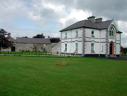 Saint Joseph'sPresbytery/parochial/curate's house · 1354 yd
Explorer Tom Saint Joseph's in Rathwire Lower faces away from its own church, which feels like ignoring your best friend at a party…
 Earthwork in AnnaskinnanEarthwork · 1375 yd
Explorer Tom Earthwork in Annaskinnan has filed forty complaints with the council about being levelled by modern machinery and…
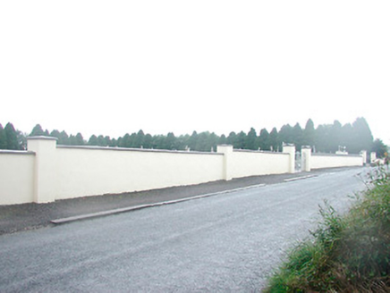 Saint Joseph's CemeteryGraveyard/cemetery · 1566 yd
Explorer Tom Saint Joseph's Cemetery had a prophecy that it would become a skate park, but nobody listened. It’s got gravestones…
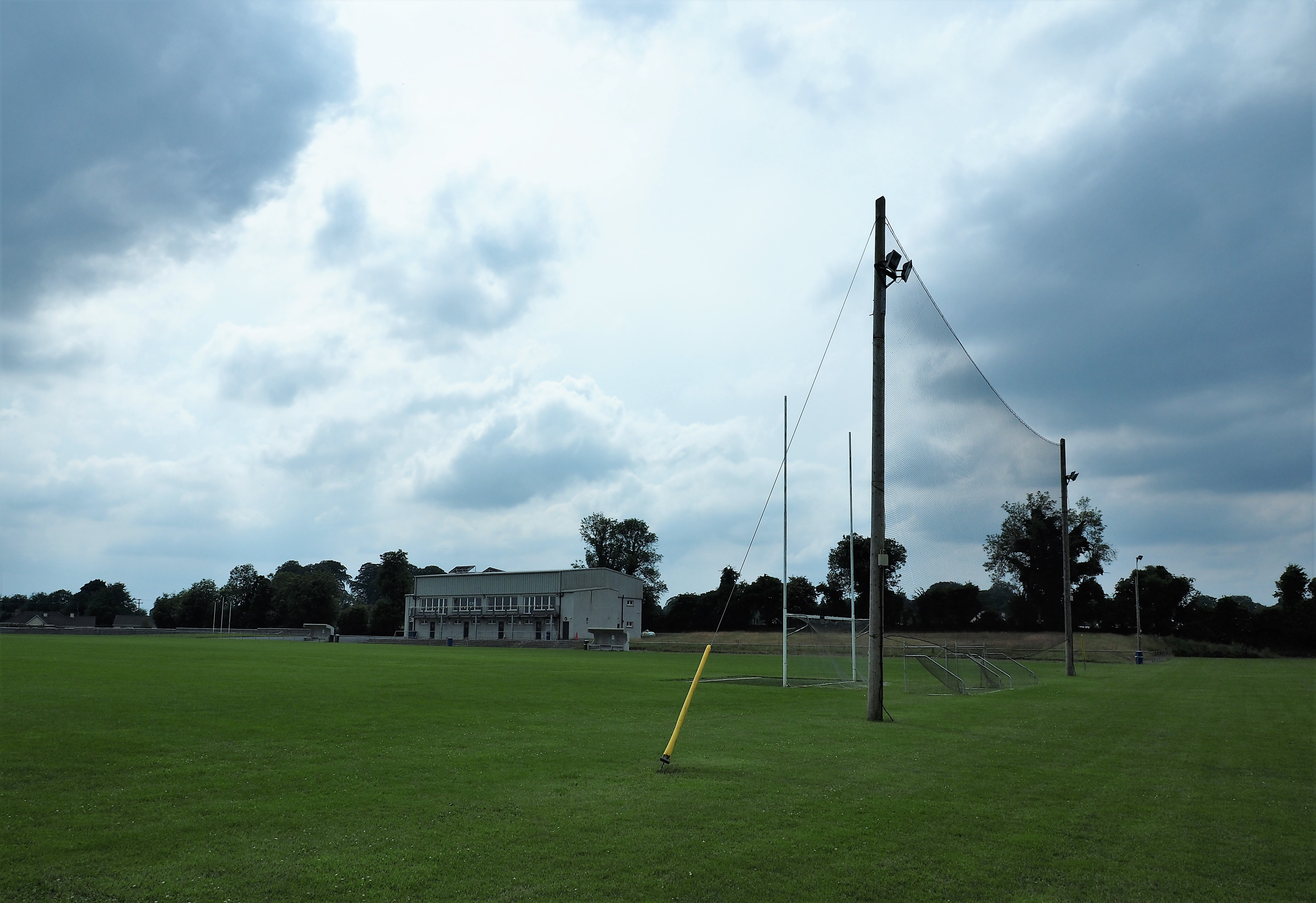 Killucan GAA pitchGAA ground · 1.1 mi
More castles and forts in County Westmeath · All of County Westmeath

What do you know about this place?Tap to add a comment or ask a question