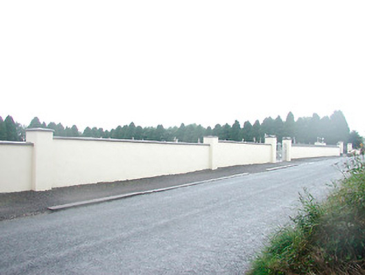
What is recorded here
Graveyard on rectilinear plan, originally laid out c.1870, having collection of gravestone markers from c.1870 to the present day. Still in use. Bounded by rendered boundary wall to the north and by mature trees/hedges to other sides. Main entrance to the north having a pair of rendered gate piers (on square-plan with decorative capstones over) supporting a pair wrought-iron gates with cross finials over. Located to the east end of Rathwire village.
St. Mary's cemetery is of high social significance to the local community. It contains a variety of gravestone, both upright and recumbent, dating from the late nineteenth-century to the present day, some of these of a very high standard, and provides an interesting insight into changing gravestone design trends over time. This graveyard represents a feature of some tranquility to the east end of Rathwire and is a local landmark.
This does not grant access. Most recorded buildings are privately owned; view them only from public ground unless the owner allows entry.
Places near here
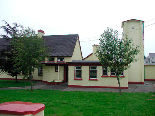 Saint Joseph's National Schoolschool · 265 yd
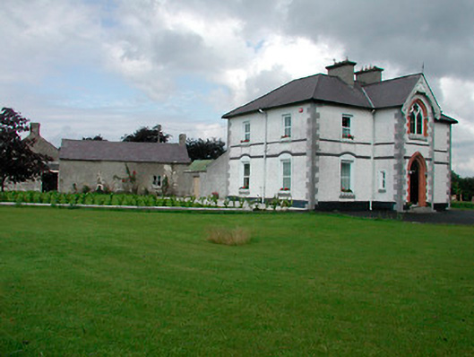 Saint Joseph'spresbytery/parochial/curate's house · 268 yd
 CrossCross, Wayside cross · 882 yd
 Rathwire Moat & CastleCastle, motte and bailey · 905 yd
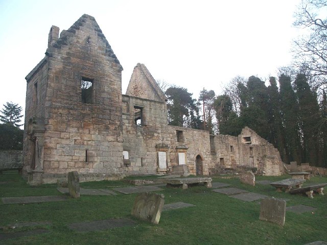 St. Bridgets WellHoly well · 1033 yd
 CastleCastle, ringwork · 1566 yd
 GinkgoGinkgo · 4.6 mi
 ScregganWood · 5.0 mi
 Croppies' GraveMemorial · 7.3 mi
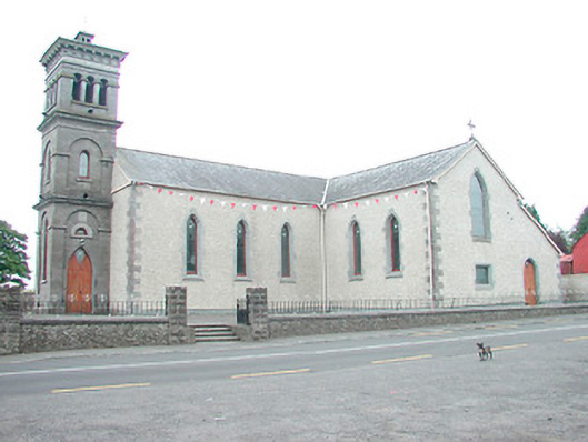 Saint Joseph's Catholic Churchchurch/chapel · 431 yd
 canal (section of)canal (section of) · 690 yd
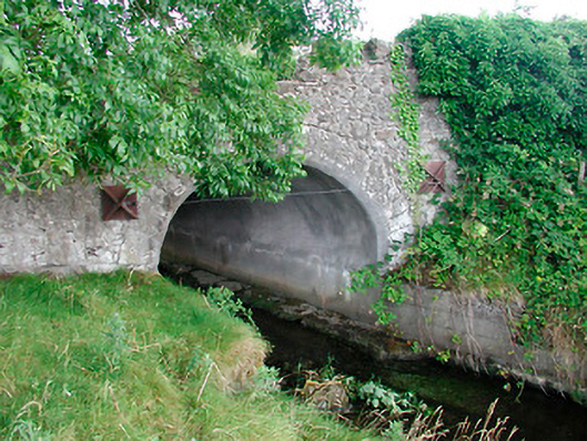 bridgebridge · 747 yd
Other information
Photo: National Inventory of Architectural Heritage · Website use allowed for educational or private purposes with source credit