
What is recorded here
Situated on top of a steep hillock (342ft/104m OD), in undulating pasture, with extensive views in all directions. Destroyed monument now located in the W quadrant of a modern quarry. Depicted on the revised 1913 ed. OS 25-inch map as a penannular-shaped earthwork which is open to NW. Levelled monument described in 1971 as a subrectangular-shaped area (dims. 44m E-W; 37m N-S) enclosed by a broad belt of rough stony ground, outside which there are faint traces of an external fosse (Wth at top 3.8m; basal Wth 2.95m; D 0.05m). The monument appears to have been enclosed originally by a bank which seems to have been levelled into the fosse. The only place where the perimeter survives is either side of a gap (Wth at top 7.2m; basal Wth 1.6m) at NNW where there is a short segment of a steep scarp (max. H 5m). It is possible that this gap may represent the entrance. There is a natural looking depression just inside the gap at NNW. The interior rises from the centre to the perimeter on the E and W sides. Area of levelled monument is located today within a commercial quarry as shown on Digital Globe aerial photography.
Compiled by Alison McQueen, Vera Rahilly and Caimin O’Brien.
Date of upload: 06 November 2019
The monument record does not grant public access. Check the route and ask the landowner before entering private land.
- What survives
- Recorded monument
Places near here
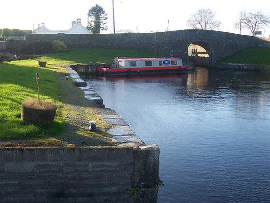 harbour/dock/portharbour/dock/port · 897 yd
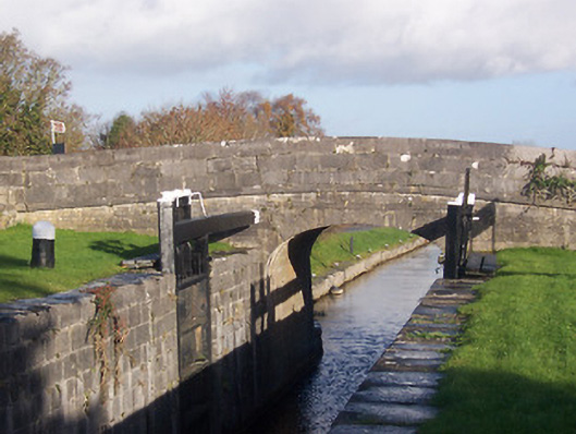 bridgebridge · 917 yd
 CastleCastle, ringwork · 1104 yd
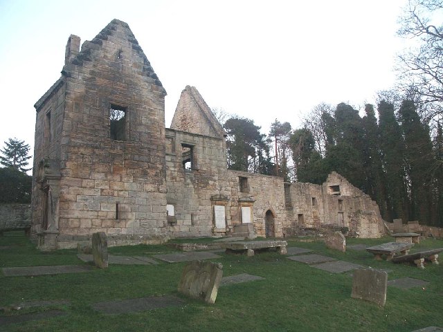 St. Bridgets WellHoly well · 1.1 mi
 EnclosureEnclosure, large enclosure · 1.3 mi
 Rathwire Moat & CastleCastle, motte and bailey · 1.7 mi
 Abandoned Kinnegad CanalWood · 4.9 mi
 ScregganWood · 5.3 mi
 Croppies' GraveMemorial · 6.1 mi
 18th Locklock · 918 yd
 D'Arcy's Bridgebridge · 1106 yd
 19th Locklock · 1180 yd
Other information
Photo: Credit not shown in the picture search · Rights wording not checked; contact us if this picture should be removed