
What is recorded here
In tillage. Powerstown River flows roughly E-W c. 150m to the S. A short cist (int. dims. 0.63m x 0.45m; D 0.45m) discovered during ploughing in the spring of 1960, when the capstone (dims. 1.73m x 0.79m; T 0.18m), which extended beyond the cist itself to both NE and SW, was disturbed. There were the cremated remains…
Read the whole record
From the National Monuments Service (Archaeological Survey of Ireland) record KK025-009
Places near here
Photo credits
- A.-K. D., Wikimedia Commons · CC BY-SA 4.0
- National Inventory of Architectural Heritage
- Maker not stated on source page, commons.wikimedia.org
- Maker not stated on source page, www.flickr.com
- Maker not stated on source page, www.tripadvisor.ie
- Maker not stated on source page, www.pinterest.com
- Maker not stated on source page, www.dreamstime.com
- Picture: Goodly Barrow
 Lady WellWell · 1326 yd
Explorer Tom Lady Well in Grange Lower has an oratory next to it, which is fancy for a well. It would say 'I’m not dry, I’m…
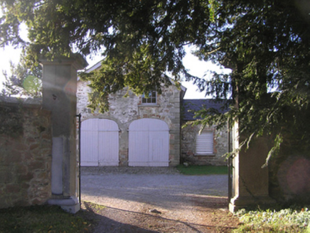 Barrowmount HouseFarmyard complex · 1329 yd
Explorer Tom Barrowmount House in Barrowmount has been keeping a scandal so juicy that even the local crows are whispering about it…
 Lord Galmoy's castle (site)Archaeological place · 1421 yd
Explorer Tom Lord Galmoy's castle in County Kilkenny would last about three episodes on a reality show before someone dropped a…
 Powerstown East GraveyardCemetery · 1493 yd
Explorer Tom Powerstown East Graveyard’s New Year’s resolution is to stop letting the ivy take over the main gate. It has failed…
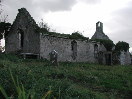 Powerstown ChurchChurch/chapel · 1501 yd
Explorer Tom Powerstown Church is covered in so many coats of paint you could peel back centuries just by sneezing on it. There’s a…
 Church (in Ruins)Church · 1501 yd
Explorer Tom Church in Powerstown East has walls so thick they could probably survive an asteroid, but nobody really cares about…
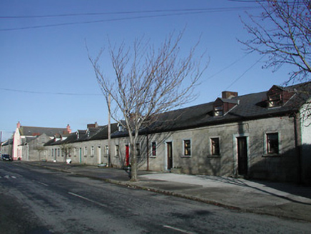 worker's house1550 yd
Explorer Tom Worker's house in Barrowmount is part of an estate terrace built from granite that bragged about surviving a storm that…
 market place1568 yd
Explorer Tom Market place in Barrowmount saw a bishop refuse to visit because the grass was too patchy. It’s now a park where people…
 Goresbridge GraveyardGraveyard · 1622 yd
Explorer Tom Goresbridge Graveyard says Vikings got lost looking for it because they followed a map that was actually just a napkin…
 Powerstown CemeteryVisitor information · 1629 yd
Explorer Tom Powerstown Cemetery in County Kilkenny has a secret talent for making loud talkers suddenly realise they’re being very…
 Goodly Barrow MuseumMuseum · 1.1 mi
Explorer Tom Goodly Barrow Museum occupies an old canal store beside the River Barrow, which is a splendid place to explain why a…
 Drumroe Castle (in ruins)Castle, unclassified · 1.3 mi
Explorer Tom Drumroe Castle claims to be older than the hills, which is a bold move considering it’s mostly gone now. It swears it…
More archaeology and monuments in County Kilkenny · All of County Kilkenny

What do you know about this place?Tap to add a comment or ask a question