
What is recorded here
Indicated on the 1st (1839) ed. OS 6-inch map and the 1900 revision as, 'Lady Well'. According to O'Kelly (1969, 78) an oratory was erected here about 20 years ago [c. 1950]'.
From the National Monuments Service (Archaeological Survey of Ireland) record KK021-028
The monument record does not grant public access. Check the route and ask the landowner before entering private land.
- What survives
- Recorded monument
Places near here
 Catholic Church of the Holy TrinityChurch/chapel · 1003 yd
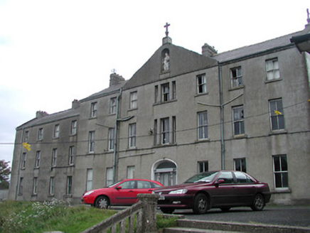 Saint Bridget's ConventConvent/nunnery · 1084 yd
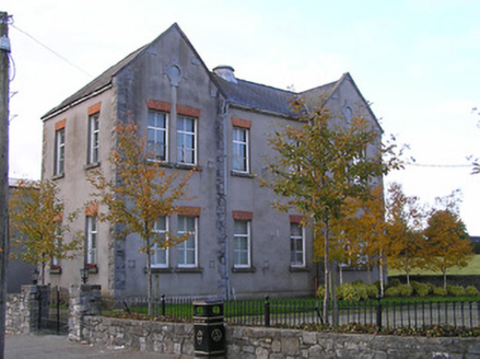 Goresbridge Convent National SchoolSchool · 1089 yd
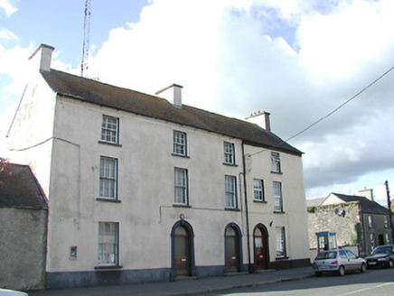 Goresbridge Garda Síochána StationRic barracks · 1109 yd
 Font (present location) in Grange LowerFont (present location) · 1196 yd
 Graveyard1.2 mi
 Neigham CastleCastle, tower house · 2.5 mi
 IndicatedBawn · 2.5 mi
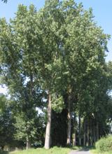 Hybrid Black Poplar3.9 mi
 Pedunculate Oak4.0 mi
 Tullaherin Church and Round TowerVisitor information · 6.1 mi
 St. Mogarra’s WellSpring · 6.6 mi
Pictures: liam murphy, Wikimedia Commons · CC BY-SA 2.0; National Inventory of Architectural Heritage; A.-K. D., Wikimedia Commons · CC BY-SA 4.0; Mike Searle, Wikimedia Commons · CC BY-SA 2.0; Mike Searle, Geograph · CC BY-SA 2.0; Rasbak, Wikimedia Commons · CC BY-SA 3.0; Algirdas at Lithuanian Wikipedia, Wikimedia Commons · Public domain; Humphrey Bolton, Geograph · CC BY-SA 2.0
More archaeology and monuments in County Kilkenny · All of County Kilkenny
What do you know about this place?