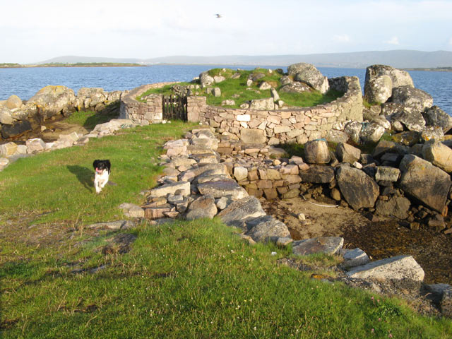
What is recorded here
Not marked on 1842 and 1905 OS 6-inch maps; shown on 1935 OS 6-inch map as subcircular enclosure (diam. c. 50m) in SW corner of field, defined by broken line and marked 'cillin.' Area has been quarried. No visible surface trace of burials. Power (1932, 64) noted 'irregular earthen mound, a perch or so in area' but places it at E end of a field on John Mahoney's farm. He (ibid.) suggests 'Kilcargah' on Down Survey (1655-6) barony map is same site.
The above description is derived from the published 'Archaeological Inventory of County Cork. Volume 4: North Cork' (Dublin: Stationery Office, 2000). In certain instances the entries have been revised and updated in the light of recent research.
Date of upload/revision: 14 January 2009
Cillin, Kilnadrow is a medieval burial site associated with the tradition of burying stillborn or unbaptized children. Its significance lies in reflecting early Christian and folk beliefs surrounding death and the afterlife in Ireland.
The monument record does not grant public access. Check the route and ask the landowner before entering private land.
- What survives
- Recorded monument
Places near here
 monumentmonument · 1083 yd
 Enclosure in NutgroveEnclosure · 1199 yd
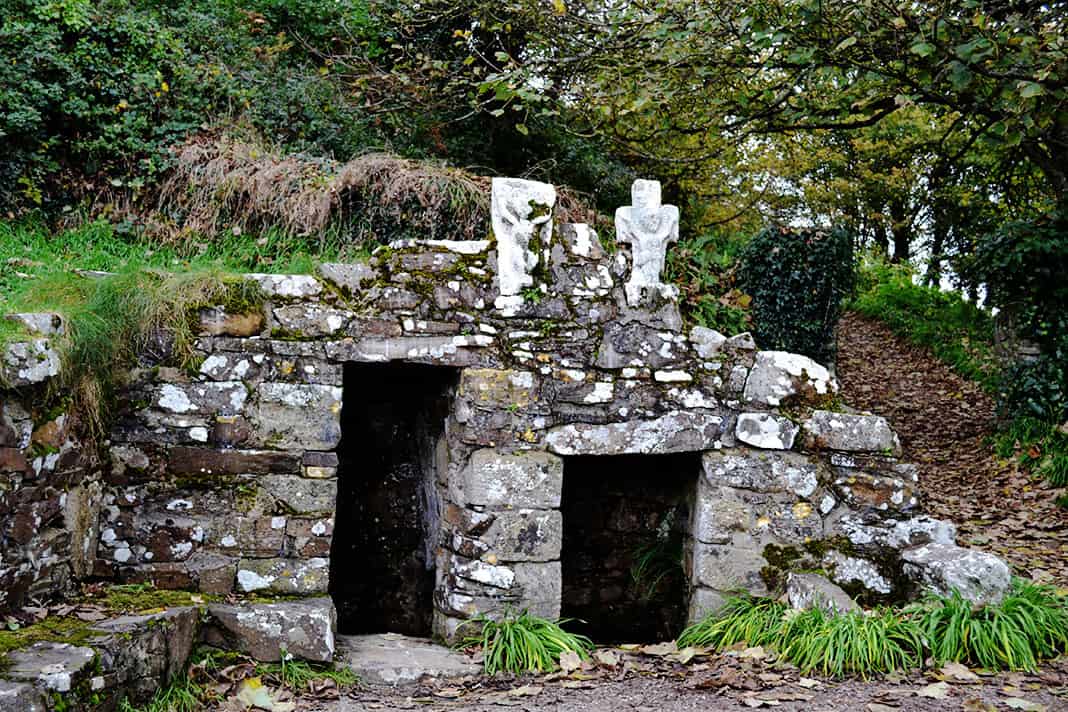 Holy well in BallykenlyHoly well · 1203 yd
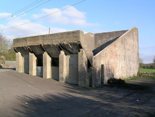 Ballindangan Handball Alleyhandball alley · 1296 yd
 Ballyloughy CastleCastle · 1673 yd
 Castle (in Ruins)Castle, tower house · 1.6 mi
 St Dominick's WellSpring · 2.6 mi
 Graveyard in BoherashGraveyard · 2.6 mi
 Flat cemetery in Ballyenahan NorthFlat cemetery · 2.8 mi
 FlagCave · 3.1 mi
 Mitchelstown Town MapVisitor information · 4.1 mi
 Kilclooney WoodWood · 4.4 mi
Other information
Photo: Credit not shown in the picture search · Rights wording not checked; contact us if this picture should be removed