What is recorded here
From OpenStreetMap (© OpenStreetMap contributors) w1375315785
Places near here
Photo credits
- National Inventory of Architectural Heritage
- Maker not stated on source page, www.alamy.com
- Maker not stated on source page, www.pinterest.com
- Maker not stated on source page, ru.pinterest.com
 Stannard's GroveMonument · 516 yd
Explorer Tom Stannard's Grove is a monument to a dog who thought he was Napoleon. A loyal hound got more real estate here than most…
 Bealalaboga BridgeBridge · 715 yd
Explorer Tom Bealalaboga Bridge in Ballykeating is made of dressed limestone with cutwaters, which sounds like a rock band but isn’t…
 Ballyenahan HouseHouse · 1144 yd
Explorer Tom 19. Ballyenahan House has a breakfront that looks like it’s trying to hug you but with more brick. Its unlikely…
 RockmillsMill (water) · 1289 yd
Explorer Tom Rockmills on the River Funshion had a fake royal visit nobody can disprove. Its water-wheel was huge, maybe the biggest…
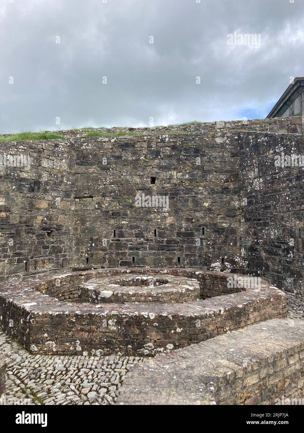 Enclosure in BallyleganEnclosure · 1490 yd
Explorer Tom Enclosure in Ballylegan claims a local legend says a giant tried to park his cart there but got stuck forever. It’s…
 Ballylegan Castle (in Ruins)Castle, unclassified · 1504 yd
Explorer Tom Ballylegan Castle is gone except for what a 1907 photo remembers. A Roche castle on a gentle slope, but now the rabbits…
Fairy fort / earthen ringfort in Carrigdownane UpperFairy fort / earthen ringfort · 1593 ydExplorer Tom Fairy fort / earthen ringfort in Carrigdownane Upper is hiding in plain sight in the tillage fields. The 1842 map says…
 Rockmills LodgeHouse · 1683 yd
Explorer Tom Rockmills Lodge got burned down in the 1920s and came back angrier with better Venetian openings. Twist this: it’s not…
 Meadow SweetHouse · 1.1 mi
Explorer Tom Meadow Sweet in Ballyvoddy was a former shop in Rockmills when the large mills were operating, so it’s seen more flour…
 Church (in Ruins)Church · 1.2 mi
Explorer Tom Church in Ballyvoddy, County Cork, was built in 1812 right on top of an older one, which is just lazy construction. A…
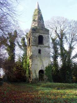 Saint Nathlash Church of Ireland ChurchChurch/chapel · 1.2 mi
Explorer Tom Saint Nathlash Church of Ireland Church is just a tower left standing after the rest was demolished in 1889. It’s got a…
 Ballydeloughy Castle (in Ruins)Castle, unclassified · 1.5 mi
Explorer Tom Ballydeloughy Castle is just a wall with attitude in Cork. The Roches built this thing back in the day, but now it's…
More memorials and graveyards in County Cork · All of County Cork

What do you know about this place?Tap to add a comment or ask a question