What is recorded here
On rock outcrop in corner of field. Locally regarded as site of church, from which stones were removed c. 1935. No visible surface trace.
The above description is derived from the published 'Archaeological Inventory of County Cork. Volume 1: West Cork' (Dublin: Stationery Office, 1992). In certain instances the entries have been revised and updated in the light of recent research.
Date of upload/revision: 14 January 2009
The monument record does not grant public access. Check the route and ask the landowner before entering private land.
- What survives
- Recorded monument
Places near here
 Burial in DromduvaneBurial · 122 yd
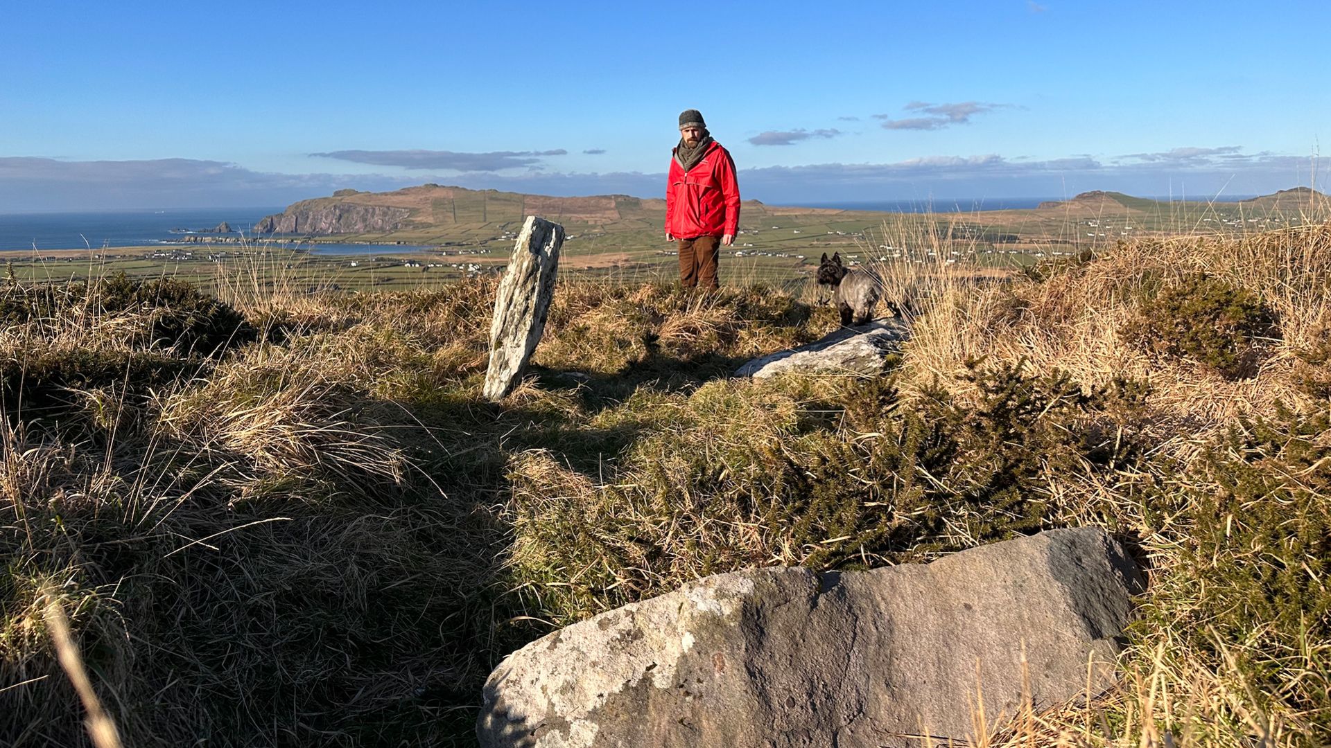 Wedge tomb in DromduvaneWedge tomb · 622 yd
 Church in Driminidy NorthChurch · 1.1 mi
 MillMill, corn · 1.2 mi
 Drimoleague Heritage Loop WalkWalking route · 2.3 mi
 Moyny Bridge WalkWalking route · 2.3 mi
 Lissangle Castle (Site of)Castle, unclassified · 3.2 mi
 Ballyourane Castle (in Ruins)Castle, unclassified · 4.1 mi
 Milane HillMountain / peak · 4.4 mi
 Graveyard in ToughmacdermodyGraveyard · 5.0 mi
 Bláth na GréineWood · 5.6 mi
 Leap waterfallHeritage attraction · 5.6 mi