What is recorded here
Maulnaskeha holds a broken ringfort where field boundaries cut through the ancient earth. The surviving scarp rises two metres on the western edge, still facing south after centuries of pasture traffic. Humans drew lines across the interior later, treating the fortress as ordinary ground rather than a place set apart.
In pasture, on S-facing slope. Circular raised area (29.9m NE-SW; 32.2m NW-SE) defined by scarp (H 1.9m) N->W, stone faced in parts. Field boundary running NNW->SSE crosses E half of interior, second boundary running NE-SW truncates enclosure to NW.
The above description is derived from the published 'Archaeological Inventory of County Cork. Volume 1: West Cork' (Dublin: Stationery Office, 1992). In certain instances the entries have been revised and updated in the light of recent research.
Date of upload/revision: 14 January 2009
The monument record does not grant public access. Check the route and ask the landowner before entering private land.
- What survives
- Recorded monument
Places near here
 Fulacht fia in Derryduff (carbery West (e.d.) By.)Fulacht fia · 764 yd
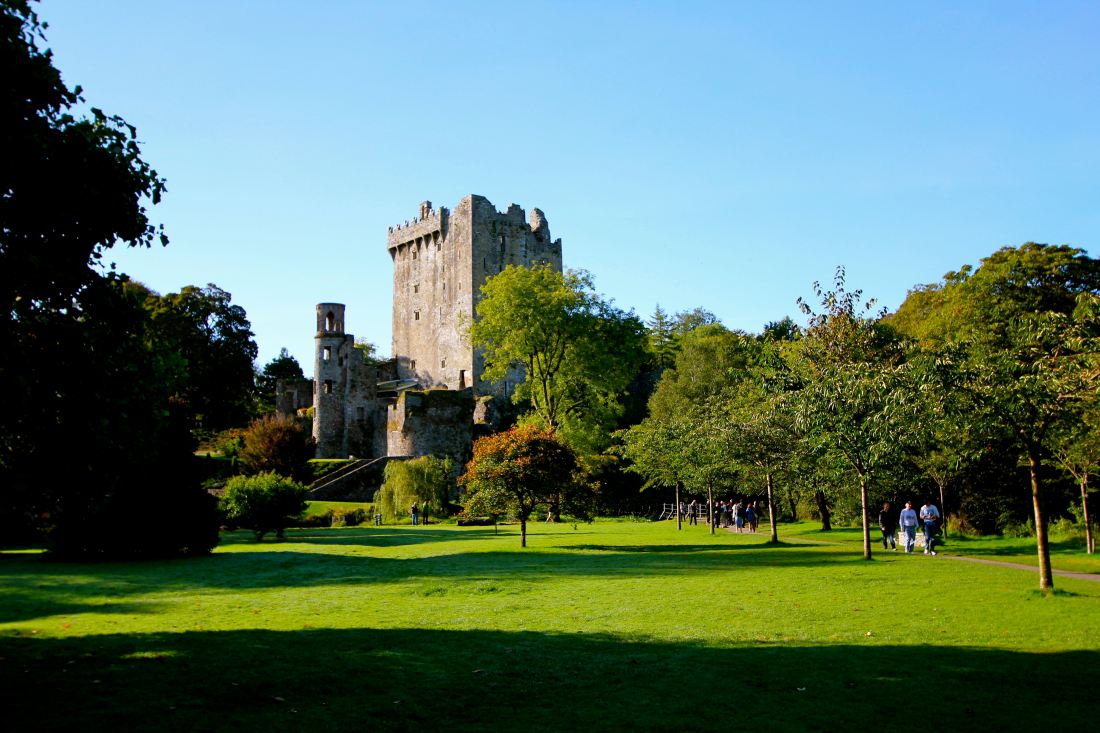 Structure in Reenroe (carbery West (e.d) By.)Structure · 838 yd
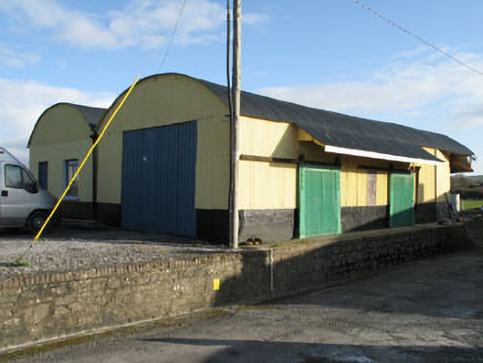 railway stationrailway station · 1.2 mi
 gate lodgegate lodge · 1.3 mi
 Lissangle Castle (Site of)Castle, unclassified · 2.0 mi
 Moyny Bridge WalkWalking route · 2.4 mi
 Drimoleague Heritage Loop WalkWalking route · 2.6 mi
 Ballyourane Castle (in Ruins)Castle, unclassified · 2.8 mi
 Milane HillMountain / peak · 5.4 mi
 Francis O'Neill PlaqueMemorial · 5.7 mi
 Bláth na GréineWood · 6.0 mi
 Monterey CypressMonterey Cypress · 6.9 mi