
What is recorded here
Lissangle Castle vanished beneath a working farmyard, leaving no stone or trench for modern eyes to find. Clan Dermod McCarthy built the stronghold on a rock outcrop before the Coppingers received it in 1616, yet even that transfer did not preserve its shape. The present landowner still calls it Coppinger's Castle, keeping the name alive while the ground hides the walls. Forgetting is not the same as losing; the castle is merely waiting for someone to stop looking for stone and start listening for the hand that first shaped the rock.
On rock outcrop, in farmyard. No visible surface trace. Clan Dermod McCarthy castle, granted to Coppingers in 1616. Known to present landowner as 'Coppinger's' Castle'.
The above description is derived from the published 'Archaeological Inventory of County Cork. Volume 1: West Cork' (Dublin: Stationery Office, 1992). In certain instances the entries have been revised and updated in the light of recent research.
Date of upload/revision: 14 January 2009
Lissangle Castle was originally held by the Clan Dermod McCarthy and later granted to the Coppingers in 1616. It is remembered as a local landmark associated with early modern landownership changes in the region.
The monument record does not grant public access. Check the route and ask the landowner before entering private land.
- What survives
- Recorded monument
Places near here
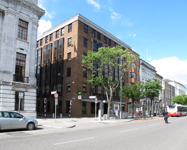 Man-made underground passage in Carrig (carbery West (w.d.) By.)Man-made underground passage · 478 yd
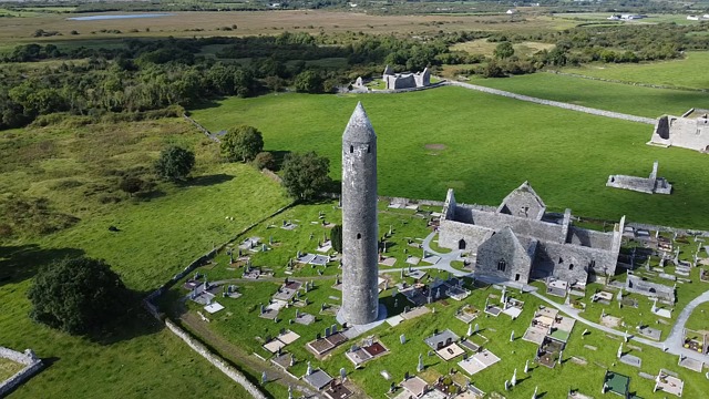 Burial GdBurial ground · 490 yd
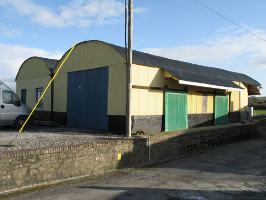 railway stationrailway station · 1602 yd
 Derreeney Housecountry house · 1.2 mi
 Ballyourane Castle (in Ruins)Castle, unclassified · 1.9 mi
 Coolngrane Fairy FortFort · 3.5 mi
 Heritage CentreMuseum · 3.9 mi
 Mount KidMountain / peak · 3.9 mi
 Bishop MahonyMemorial · 3.9 mi
 Wild Atlantic WayVisitor information · 4.4 mi
 Monterey CypressMonterey Cypress · 4.9 mi
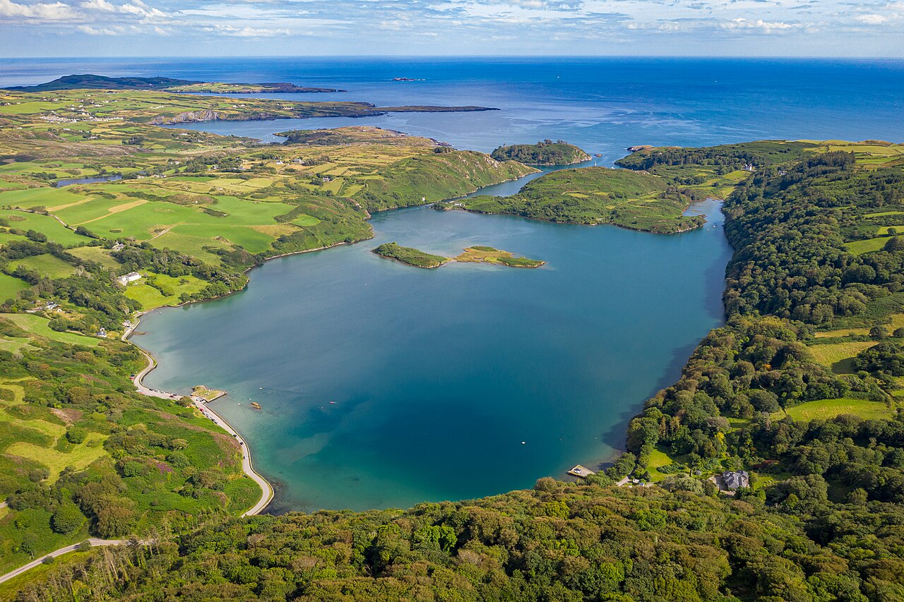 Lough HyneVisitor information · 5.0 mi
Other information
Photo: Credit not shown in the picture search · Rights wording not checked; contact us if this picture should be removed