What is recorded here
In pasture. Named 'Cave' on all editions of the OS 6-inch maps. Not visible at ground level. O'Donovan
Date of upload: 6 September 2011
From the National Monuments Service (Archaeological Survey of Ireland) record LF006-015
The monument record does not grant public access. Check the route and ask the landowner before entering private land.
- What survives
- Recorded monument
Places near here
Ritual siteRitual site, holy tree/bush · 1078 ydToomeMountain / peak · 1220 ydCornamucklagh WoodlandWood · 1.3 miCarnagh LowerMountain / peak · 1.4 mi Kilsaran BridgeBridge · 1.5 miSaint Columba's Catholic ChurchChurch/chapel · 1.7 miScrabby IslandIslet · 2.2 miIndicatedCastle, unclassified · 2.3 miCloone HouseCastle, unclassified · 2.3 miDerrycassan WoodsWood · 2.6 miPortal tomb in AghnacliffPortal tomb · 4.4 miMyles O'Reilly MonumentMemorial · 6.5 mi
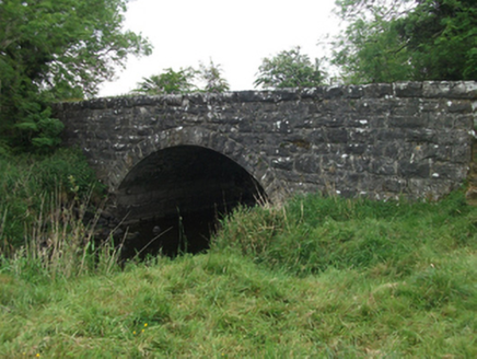 Kilsaran BridgeBridge · 1.5 mi
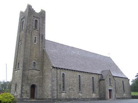 Saint Columba's Catholic ChurchChurch/chapel · 1.7 miScrabby IslandIslet · 2.2 miIndicatedCastle, unclassified · 2.3 miCloone HouseCastle, unclassified · 2.3 miDerrycassan WoodsWood · 2.6 mi
 Portal tomb in AghnacliffPortal tomb · 4.4 mi
 Myles O'Reilly MonumentMemorial · 6.5 mi
Pictures: National Inventory of Architectural Heritage; Wanfried-Dublin, Wikimedia Commons · CC BY-SA 4.0; Cavanphotography, Wikimedia Commons · CC BY-SA 4.0
More archaeology and monuments in County Longford · All of County Longford
What do you know about this place?