
What is recorded here
Situated at the top of a W-facing slope in the valley of the River Boyne at a point c. 200m SE of where it turns from a NW-SE to a SSW-NNE direction. The motte (ME036-009----) is c. 160m to the NW and the parish church (ME036-010----) is c. 150m to the W. According to the Civil Survey (1654-6) Gerrott Leynes owned 268…
Read the whole record
From the National Monuments Service (Archaeological Survey of Ireland) record ME037-011
Places near here
Photo credits
- JP, Geograph · CC BY-SA 2.0
- Maker not stated on source page, commons.wikimedia.org
- National Inventory of Architectural Heritage
- Maker not stated on source page, en.wikipedia.org
- Rob Hurson, Wikimedia Commons · CC BY-SA 4.0
- Maker not stated on source page, www.pinterest.com
- Maker not stated on source page, www.gettyimages.com
- Maker not stated on source page, www.ireland.com
- Golfing in Ireland; photographer not stated, Source publisher
- Bernard Smith Engineers; photographer not stated, www.bernardsmith.ie
 CastleCastle, motte · 160 yd
Explorer Tom The motte at Scurlockstown is bragging about surviving storms that would have flattened a normal heap of dirt, but…
 Earthwork in Scurlockstown (deece Lower By.)Earthwork · 585 yd
Explorer Tom Earthwork in Scurlockstown hides a tunnel to the pub according to local legend, though the locals are very vague about…
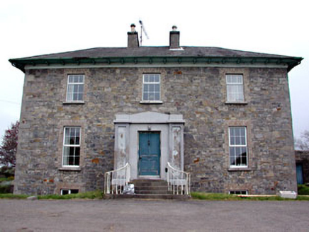 Newtown ParkHouse · 933 yd
Explorer Tom Newtown Park in Loganstown, County Meath is sick of being asked if it’s actually a park or just a house with a river…
 Enclosure in IffernockEnclosure · 956 yd
Explorer Tom Enclosure in Iffernock in County Meath is surrounded by rabbits who think it’s their personal exercise track and…
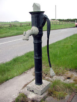 water pump1308 yd
Explorer Tom Water pump in Iffernock claims Queen Victoria stopped for a drink, but nobody’s found the receipt yet. Its spout is…
 St. Johns FriaryReligious house, Fratres Cruciferi · 1.1 mi
Explorer Tom St. Johns Friary is sitting right on the riverbank, looking like it’s waiting for a ferry that never shows up. A cow…
 TombTomb, effigial · 1.3 mi
Explorer Tom Tomb in Newtown is planning its retirement by staying perfectly still while everyone else moves on with their lives.…
 Newtown AbbeyReligious house, Augustinian canons · 1.3 mi
Explorer Tom Newtown Abbey had a matchmaker working there in the early thirteenth century who knew all the local secrets. Bishop…
 Ecclesiastical enclosure in Kilcooly (navan Upper By.)Ecclesiastical enclosure · 1.4 mi
Explorer Tom Ecclesiastical enclosure in Kilcooly thinks Dublin tourists are just very confused sheep. It surrounds the church with…
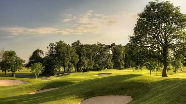 Knightsbrook Golf ClubGolf course · 1.4 mi
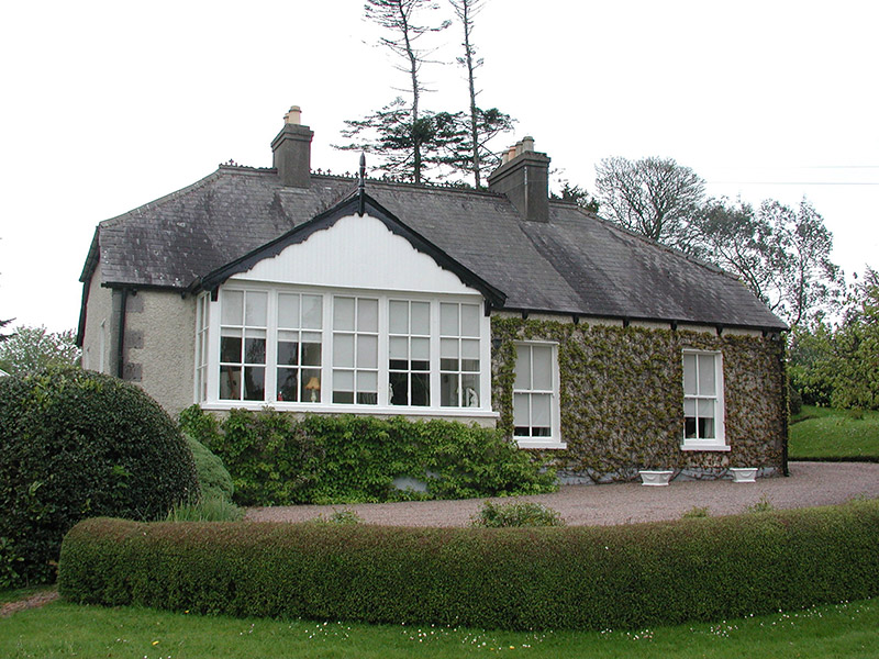 The CottageHouse · 1.7 mi
Explorer Tom The Cottage in Commons is sitting on the bank of the Boyne, looking modest but acting like it’s the most important…
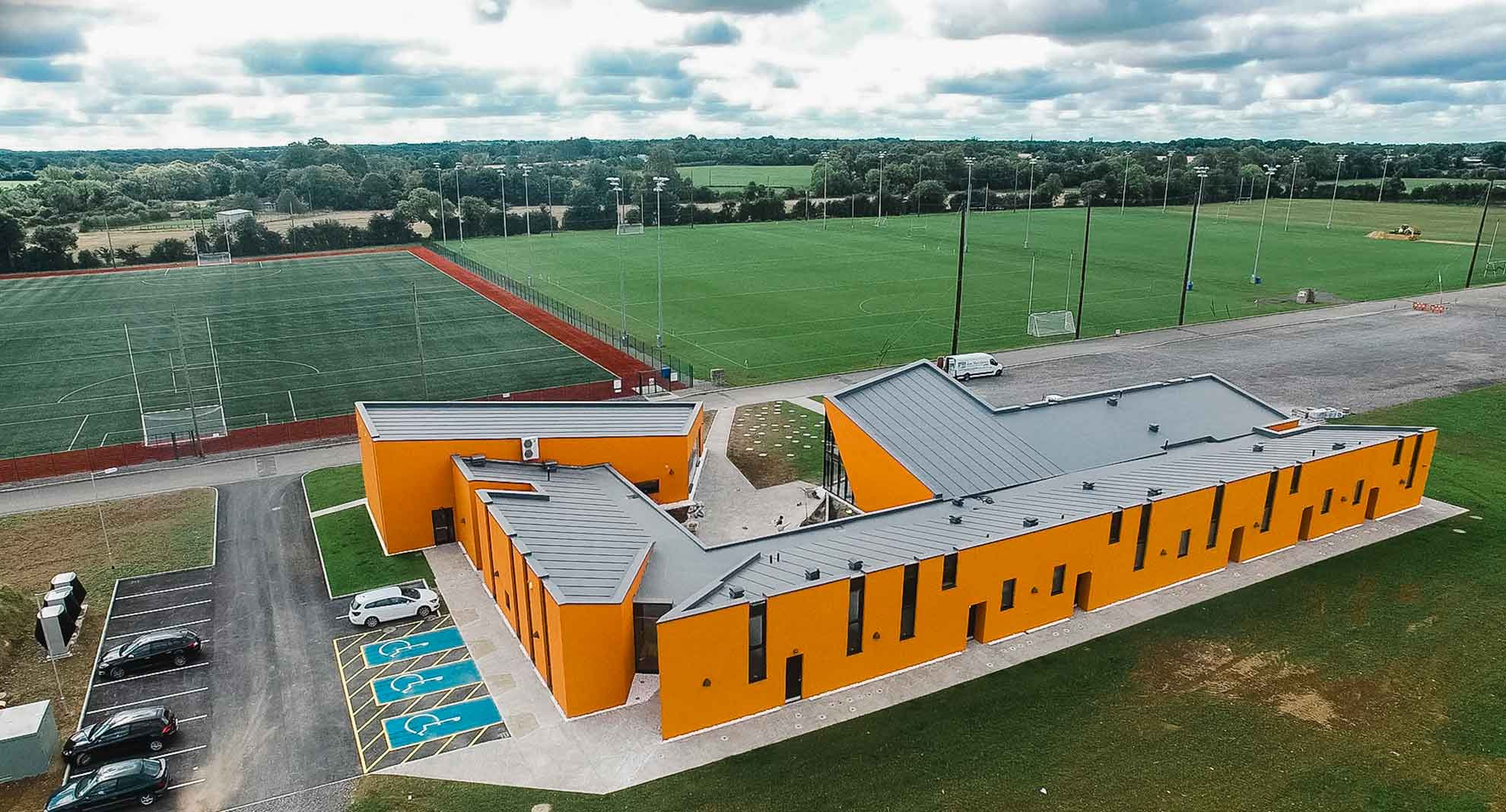 Meath GAA Centre of ExcellenceGAA ground · 2.1 mi
More castles and forts in County Meath · All of County Meath

What do you know about this place?Tap to add a comment or ask a question