What is recorded here
Situated on an undulating landscape around the hillock with the church (ME036-015----). The church and graveyard are at the S end of an oval or sub-triangular ecclesiastical enclosure (int. dims c. 120m N-S; c. 100m E-W) defined by two ditch features placed c. 10m apart that are visible on Google Earth (14/07/2018) S-NW-N, with traces of a possible perimeter visible as a fosse N-E and in fragments of ditches E-S on the same image. There is a third outer ditch feature visible on the same image SW -NNW c. 15m from the outer fosse at the closest point, but it could be a stream. The field system (ME036-014----) is c. 50m to the WNW of the church at the closest and is entangled with the ecclesiastical enclosure. It was first reported by Anthony Murphy.
Compiled by: Michael Moore
Date of upload: 5 July, 2019
The monument record does not grant public access. Check the route and ask the landowner before entering private land.
- What survives
- Recorded monument
Places near here
 Church in Kilcooly (navan Upper By.)Church · 23 yd
 IndicatedEnclosure · 849 yd
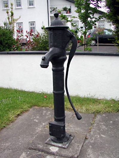 water pumpwater pump · 1758 yd
 CrossCross, High cross (present location) · 1.0 mi
 CastleCastle, motte · 1.3 mi
 Scurlogstown CastleArchaeological place · 1.4 mi
 Small-leaved ElmSmall-leaved Elm · 1.9 mi
 Wych ElmWych Elm · 2.0 mi
 Candle HillMountain / peak · 8.6 mi
 MullaghMountain / peak · 9.1 mi
 Larchil Arcadian GardensHeritage attraction · 9.7 mi
 Kilgar GardensHeritage attraction · 9.7 mi