Places near here
Photo credits
- National Inventory of Architectural Heritage
- Rob Hurson, Wikimedia Commons · CC BY-SA 4.0
- Yellowguy88 ( talk ) at en.wikipedia, Wikimedia Commons · CC BY-SA 3.0
- William Murphy from Dublin, Ireland, Wikimedia Commons · CC BY-SA 2.0
- Denis O'Donovan, Wikimedia Commons
- Golfing in Ireland; photographer not stated, Source publisher
- Billy Irwin, Wikimedia Commons · CC BY-SA 2.0
- JP, Geograph · CC BY-SA 2.0
- Bernard Smith Engineers; photographer not stated, www.bernardsmith.ie
- Roger Culos, Wikimedia Commons · CC BY-SA 3.0
- Ronnie Nijboer, Wikimedia Commons · CC0
- Kieran Campbell, Geograph · CC BY-SA 2.0
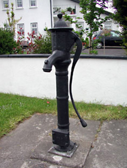 water pump1130 yd
Explorer Tom Water pump in Newtown lost a bet with a priest over how much water it could actually dispense, and it’s been sulking…
 St. Johns FriaryReligious house, Fratres Cruciferi · 1511 yd
Explorer Tom St. Johns Friary is sitting right on the riverbank, looking like it’s waiting for a ferry that never shows up. A cow…
 Newtown AbbeyCathedral · 1564 yd
Explorer Tom Newtown Abbey was founded by a bishop who got buried there in 1224, which is quite the commitment. Now it’s just a…
.jpg/250px-Trim_Castle_-_County_Meath_(3138577981).jpg "Photo: William Murphy from Dublin, Ireland, Wikimedia Commons · CC BY-SA 2.0") IndicatedField boundary · 1.1 mi
IndicatedField boundary · 1.1 miExplorer Tom Field boundary in Blackfriary really means 'where the nuns kept their secret garden,' or so I’m told. It’s a remnant…
 PorchfieldPark · 1.1 mi
Explorer Tom Trim's Porchfield spreads beside the Boyne, turning the stretch between castle and Newtown into a walk where medieval…
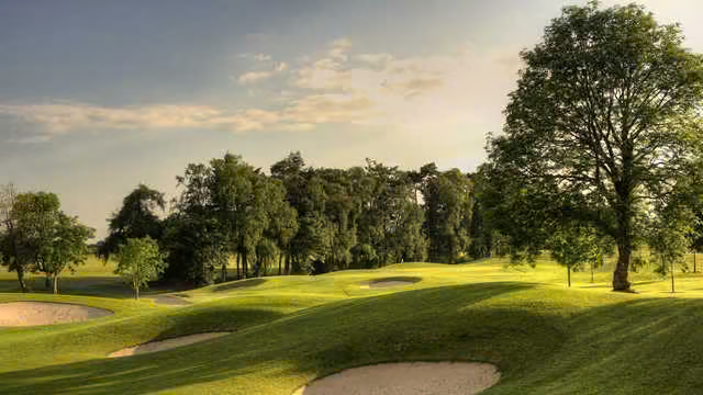 Knightsbrook Golf ClubGolf course · 1.2 mi
 Trim CastleVisitor information · 1.4 mi
Explorer Tom Trim Castle in County Meath is in a bit of a drama with the nearest tree over who has the better view. It’s got this…
 CastleCastle, motte · 1.4 mi
Explorer Tom The motte at Scurlockstown is bragging about surviving storms that would have flattened a normal heap of dirt, but…
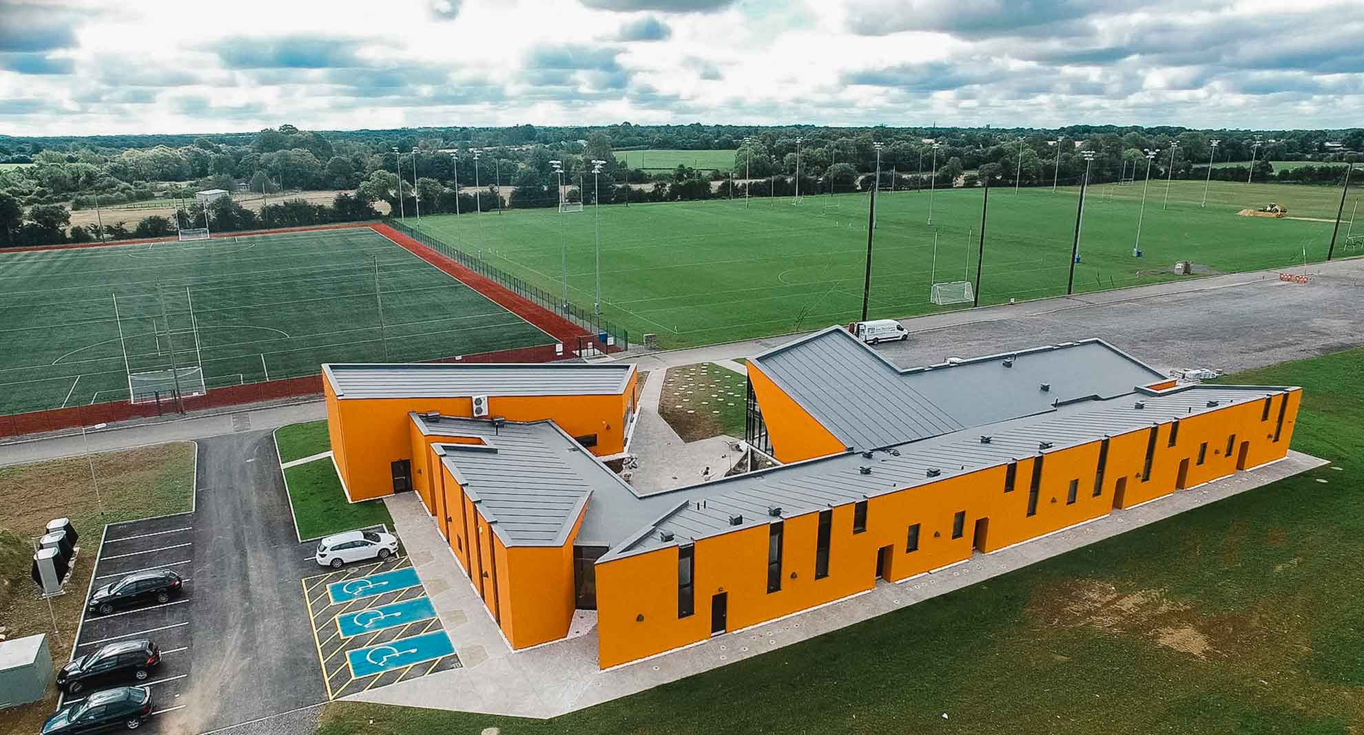 Meath GAA Centre of ExcellenceGAA ground · 1.9 mi
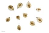 Small-leaved Elm2.4 mi
Explorer Tom Small-leaved Elm in County Meath has an imaginary fan club that meets every Tuesday to discuss its leaf shape and…
 Wych Elm2.4 mi
Explorer Tom This Wych Elm in County Meath would explain the 1800s to a teenager as a time of bad hair and worse news. It says…
 Moymet CastleCastle, tower house · 2.8 mi
Explorer Tom Moymet Castle is where Saint Patrick would have stopped to complain about his shoes, then kept walking anyway. You’ve…
More archaeology and monuments in County Meath · All of County Meath

What do you know about this place?Tap to add a comment or ask a question