
What is recorded here
Situated on a prominent hillock in a gently undulating landscape. A church at Kilcoli is listed in the ecclesiastical taxation (1302-06) of Pope Nicholas IV (Cal. doc. Ire. 5, 256). Ussher (1622) says the church and chancel of Kilcowley were repaired (Erlington 1847-64, 1, lxxxv). According to Cogan (1862-70, 2, 347-8) the church of Kilcooly had been granted to St. Michael’s priory in Duleek (ME027-038011-) and later to St. Keenan’s in Duleek, and Kilcouley was amongst the possessions of St Michael’s in 1540 (White 1943, 316). According to the Royal visitation (1693) the parish church and its chancel at Kilcooly were ruined since 1641 and the graveyard was not enclosed (Ellison 1972, 9).
The grass-covered foundations of an undivided nave and chancel structure (dims 15.4m E-W plus; W 5m N-S) defined by earthen banks or wall footings survives apart from the W end. It is within a D-shaped graveyard (dims c. 45m ENE-WSW; c. 35m NNW-SSE) defined by masonry walls built around the base of the knoll. The church and graveyard are at the S end of an oval or sub-triangular ecclesiastical enclosure (int. dims c. 120m N-S; c. 100m E-W) defined by two ditch features placed c. 10m apart that are visible on Google Earth (14/07/2018) S-NW-N, with traces of a possible perimeter visible as a fosse N-E and in fragments of ditches E-S on the same image. There is a third outer ditch feature visible on the same image SW -NNW c. 15m from the outer fosse at the closest point, but it could be a stream. The field system (ME036-014----) is c. 50m to the WNW of the church at the closest and is entangled with the ecclesiastical enclosure.
The above description is derived from the published 'Archaeological Inventory of County Meath' (Dublin: Stationery Office, 1987). In certain instances the entries have been revised and updated in the light of recent research.
Compiled by: Michael Moore
Date of revision: 16 February 2015
Amended: 5 July, 2019
The monument record does not grant public access. Check the route and ask the landowner before entering private land.
- What survives
- Recorded monument
Places near here
 IndicatedEnclosure · 861 yd
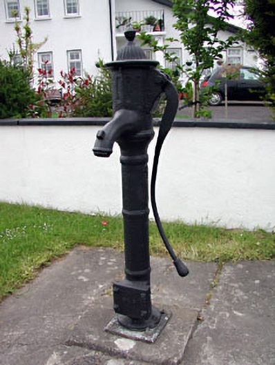 water pumpwater pump · 1757 yd
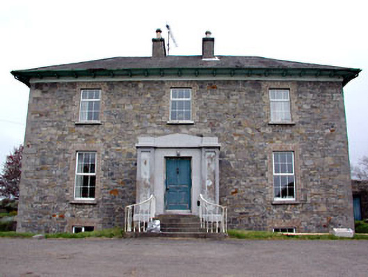 Newtown Parkhouse · 1.0 mi
 CrossCross, High cross (present location) · 1.0 mi
 CastleCastle, motte · 1.3 mi
 Scurlogstown CastleArchaeological place · 1.4 mi
 Small-leaved ElmSmall-leaved Elm · 1.9 mi
 Wych ElmWych Elm · 2.0 mi
 Candle HillMountain / peak · 8.6 mi
 MullaghMountain / peak · 9.1 mi
 Larchil Arcadian GardensHeritage attraction · 9.7 mi
 Kilgar GardensHeritage attraction · 9.7 mi
Other information
Photo: Credit not shown in the picture search · Rights wording not checked; contact us if this picture should be removed