What is recorded here
Situated on a fairly level landscape. Aerial photographs by Conor Newman show three enclosures within a field system (ME036-057001-) and it is also visible on Bing images (2013). This enclosure (diam. c. 20m) is defined by a single fosse feature (Wth c. 1-2m) and is also visible on (GB89.M.06). Rath (ME036-057003-) is c. 10m to the NW. It was also photographed by Noel and Conor Murphy in July 2018.
See the attached view courtesy of Noel and Conor Murphy
Compiled by: Dr Gillian Barrett for the Archaeological Survey of Ireland.
Date of upload: 10 June 2009
Amended: 8 July, 2019, 11 February 2022
The monument record does not grant public access. Check the route and ask the landowner before entering private land.
- What survives
- Recorded monument
Places near here
 Church (in Ruins)Church · 797 yd
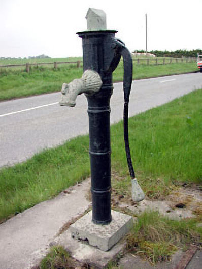 water pumpwater pump · 879 yd
 CastleCastle, motte · 904 yd
 Scurlogstown CastleArchaeological place · 952 yd
 CrossCross, High cross (present location) · 1701 yd
 Newtown AbbeyCathedral · 1739 yd
 Saints IslandForest · 2.7 mi
 Small-leaved ElmSmall-leaved Elm · 3.2 mi
 MullaghMountain / peak · 7.9 mi
 Kilgar GardensHeritage attraction · 8.2 mi
 Larchil Arcadian GardensHeritage attraction · 8.3 mi
 1798 MemorialMemorial · 8.6 mi