
What is recorded here
Marked on the 1841 and 1908 editions of the OS 6-inch maps. Situated on a ridge immediately SE of ringfort (LA028-018002-). Constructed of green stone, it's remains stood to height of 1.2m only (Carrigan 1905, vol. 2, 140). No visible surface remains. Described by Carrigan as 'a castle in Gortnalee (field of the calf) near the road from Donnaghmore to Killismestia chapel. The walls, built of green stone, remain to a height of 4 ft., but are very ruinous; they are from 4 ft. to 5ft. Thick. Internally the building was 30ft. By 20 ft.' (Carrigan 1905, vol. 2, 140).
The above description is derived from the published 'Archaeological Inventory of County Laois' (Dublin Stationery Office, 1995) compiled by P. David Sweetman, Olive Alcock and Bernie Moran. In certain instances the entries have been revised and updated in the light of recent research.
Date of upload: 17 December 2007
The monument record does not grant public access. Check the route and ask the landowner before entering private land.
- What survives
- Recorded monument
Places near here
 Enclosure in Killadooley (detached Portion)Enclosure · 697 yd
 Enclosure in DunaclegganEnclosure · 1147 yd
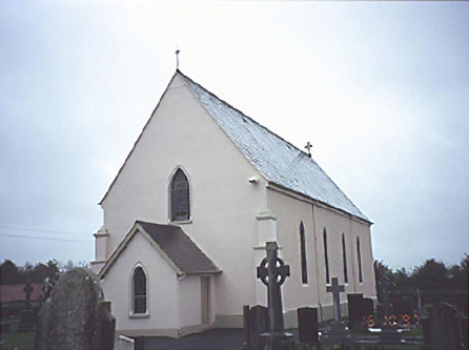 Catholic Church of the Assumptionchurch/chapel · 1498 yd
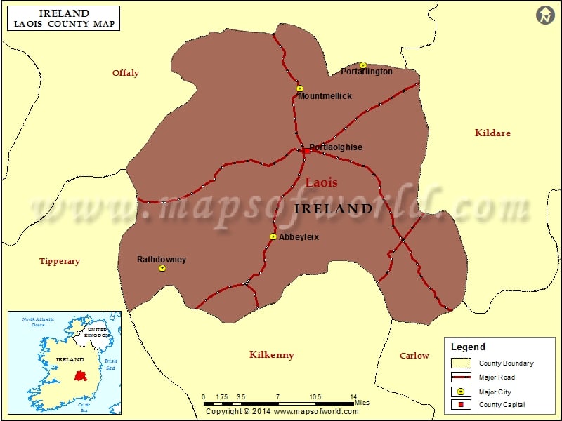 IndicatedChurch · 1593 yd
 Donaghmore MoatCastle, motte · 1.3 mi
 Bawn in Castlefleming Stubber,garrisonBawn · 2.2 mi
 Carricknasrock WoodWood · 4.8 mi
 Clonmeen WoodWood · 4.9 mi
 Cnoc SeanrathaMemorial · 6.1 mi
 College HillMountain / peak · 9.5 mi
 DelaneyMemorial · 9.8 mi
 Eagle HillMountain / peak · 11 mi
Other information
Photo: Credit not shown in the picture search · Rights wording not checked; contact us if this picture should be removed