What is recorded here
Castlefleming Stubber stands as a ruined fortified house in County Laois, its hammer-dressed archstone marking a late sixteenth-century build. The rectangular hall retains a murder-hole above the outer doorway and a large fireplace with an oven, yet no stairwell remains visible. Local people once claimed knowledge of nothing beyond old walls, leaving the true purpose and owners of the garrison lost to time.
Situated on an elevated site in undulating countryside. A rectangular hall-like structure (dims. 17.35m E-W, 6.85m N-S; wall T 0.9m), now two storeys high and with the remains of a S projecting tower in the SW angle and a later extension off the NW angle. A series of opes at first and second floor level in the S wall. The doorway, with the remains of an outer doorway is in the W end of the S wall. It's remaining archstone is hammer dressed with a fine tool margin which dates it to the late sixteenth-century. There is the remains of a murder-hole inside the outer doorway. There is a large fireplace with an oven at the N side of it in the W gable. There is no evidence of a stairwell. There is a possible bawn wall (LA027-016001-) attached to the E end. Marked on the Down Survey (1655-6) map 'supposed to be the ruins of a fortress' (O'Flanagan 1933, 91).
Described in the OS letters as 'There are old walls in the Townland of Garrison which are supposed to be the ruins of a fortress, but the people know nothing of its history' (O'Flanagan 1933, vol. 1, p. 36).
The above description is derived from the published 'Archaeological Inventory of County Laois' (Dublin Stationery Office, 1995) compiled by P. David Sweetman, Olive Alcock and Bernie Moran. In certain instances the entries have been revised and updated in the light of recent research.
Date of upload: 17 December 2007
The monument record does not grant public access. Check the route and ask the landowner before entering private land.
- What survives
- Recorded monument
Places near here
 Bawn in Castlefleming Stubber,garrisonBawn · 4 yd
 CastleCastle, unclassified · 376 yd
 St. Kierans Monastery (Site of)Religious house, unclassified · 1604 yd
 Church (in ruins)Church · 1745 yd
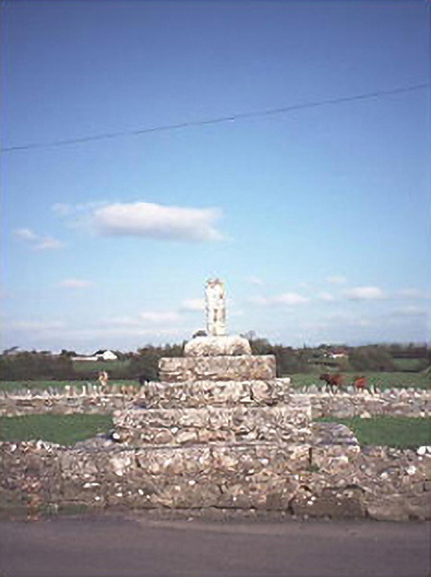 Errill Crosscross · 1.1 mi
 Burial Ground (Disused)Church · 1.4 mi
 Clonmeen WoodWood · 3.0 mi
 Carricknasrock WoodWood · 3.6 mi
 Black HillMountain / peak · 3.7 mi
 Tullow HillMountain / peak · 5.0 mi
 Cnoc SeanrathaMemorial · 5.8 mi
 DelaneyMemorial · 9.5 mi