
What is recorded here
Situated on an elevated site in undulating countryside. A rectangular hall-like structure (LA027-016), now two storeys high and with the remains of a south projecting tower in the SW angle and a later extension off the NW angle. There is a possible bawn wall attached to the E end. Castle marked on the Down Survey (1655-6) map and 'supposed to be the ruins of a fortress' (O'Flanagan, 1933, 91).
Described in the OS letters as 'There are old walls in the Townland of Garrison which area supposed to be the ruins of a fortress, but the peopl know nothing of its history' (O'Flanagan, 1933, vol. 1, p. 36).
Compiled by: Caimin O'Brien
Date of upload: 17 December 2007
A local castle; wider significance not recorded.
The monument record does not grant public access. Check the route and ask the landowner before entering private land.
- What survives
- Recorded monument
Places near here
 CastleCastle, unclassified · 373 yd
 St. Kierans Monastery (Site of)Religious house, unclassified · 1608 yd
 Church (in ruins)Church · 1749 yd
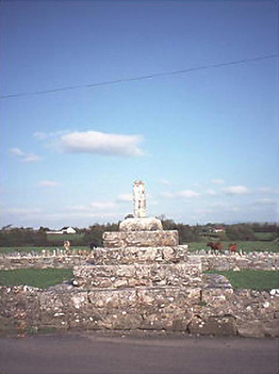 Errill Crosscross · 1.1 mi
 Burial Ground (Disused)Church · 1.4 mi
 Ballagh CastleCastle · 1.9 mi
 Clonmeen WoodWood · 3.0 mi
 Carricknasrock WoodWood · 3.6 mi
 Black HillMountain / peak · 3.7 mi
 Tullow HillMountain / peak · 5.0 mi
 Cnoc SeanrathaMemorial · 5.8 mi
 DelaneyMemorial · 9.5 mi
Other information
Photo: Credit not shown in the picture search · Rights wording not checked; contact us if this picture should be removed