What is recorded here
Rathmore in County Laois held a graveyard before the Down Survey mapped it in 1655-6, suggesting death and memory belonged there long before ink touched paper. The absence of a formal record does not erase the graves; it refuses to pretend the chamber is fully known. People may have walked past those markers for generations, naming the dead and leaving the world unchanged.
No reference in the SMR file. The source for this record may be the Down Survey (1655-6) map.
Compiled by: Caimin O'Brien
Date of upload: 17 December 2007
The monument record does not grant public access. Check the route and ask the landowner before entering private land.
- What survives
- Recorded monument
Places near here
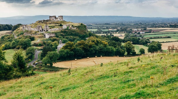 Rath MoreFairy fort / earthen ringfort · 204 yd
 Ballybrophy Railway Stationrailway station · 1254 yd
 Enclosure in Killadooley (detached Portion)Enclosure · 1293 yd
 CastleCastle, unclassified · 1371 yd
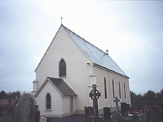 Catholic Church of the Assumptionchurch/chapel · 1.3 mi
 Donaghmore MoatCastle, motte · 1.4 mi
 Big WoodWood · 5.7 mi
 Clonmeen WoodWood · 5.7 mi
 Cnoc SeanrathaMemorial · 6.5 mi
 DelaneyMemorial · 10 mi
 College HillMountain / peak · 10 mi
 Eagle HillMountain / peak · 11 mi