
What is recorded here
Donaghmore Moat is a steep earthen cone at the north end of a Laois ridge, still standing seven metres high with a narrow flat top. It overlookes a closed holy well, an old graveyard and fields where water once ran for maltings. The shape suggests a defensive mound rather than a burial marker, yet local memory has long tangled it with Patrick and death.
Situated at the N end of a N-S ridge with stream to the NW. A flat-topped steep sided earthen mound (summit diam. c. 8m; H c. 7.5m). Slight remains of fosse visible (Wth c. 5.5m, D c. 0.97m) visible from SE through S to SW only. No evidence of a bailey. Slight quarrying on the summit of the motte on the NW face has created a small hollow depression on this side. Impressive views of surrounding countryside in all directions. Remains of a possible mill race of unknown date in field immediately to the N of the motte. This linear earthwork appears to be earlier than the mill race in the field to the W of the motte which is associated with the eighteenth century maltings in the village of Donaghmore. Motte was built at N end of esker ridge and is steepest in its N face, likely bailey area if there ever was one to be in the flat elevated fields to the E and SE of the motte.
Described by Carrigan as 'St. Patrick's holy well (LA028-023----) is a little to the north-west of the graveyard (LA028-025001-), but it is now closed, a great rock having been rolled into it about 1845. Beside the well is Donnaghmore "Moat" (LA028-024001-) a truncated cone, 11 yds. in diameter at the top and about 22 ft. high. There is neither trace nor tidings of Donnaghmore Castle (LA028-024002-), though it is mentioned in documents of 1571 and 1621 (Carrigan 1905, vol. 2, 352). Donaghmore medieval church and graveyard (LA028-025001-/002-) are located 240m SSE of the motte. St Patricks Well (LA028-023----) is located at the base of the ridge 30m to the SW of the motte.
The above description is derived from the published 'Archaeological Inventory of County Laois' (Dublin Stationery Office, 1995) compiled by P. David Sweetman, Olive Alcock and Bernie Moran. In certain instances the entries have been revised and updated in the light of recent research.
Date of upload: 17 December 2007
The monument record does not grant public access. Check the route and ask the landowner before entering private land.
- What survives
- Recorded monument
Places near here
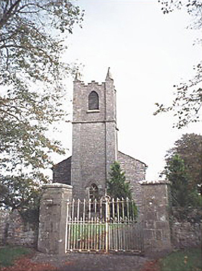 Saint Patrick's Church (Donaghmore)church/chapel · 270 yd
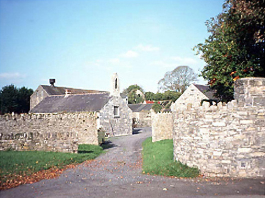 mill (water)mill (water) · 285 yd
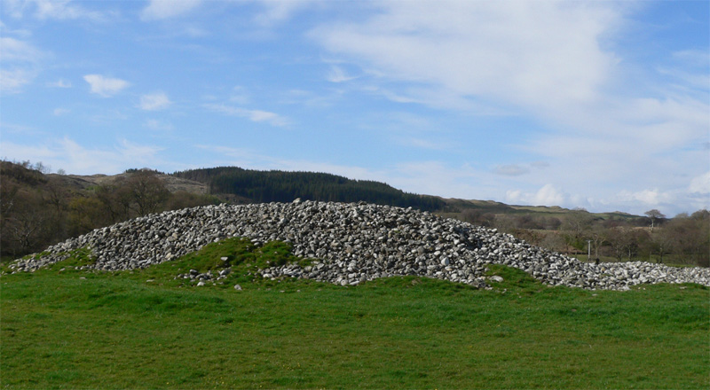 Enclosure in Ballyhegadon GlebeEnclosure · 370 yd
 Enclosure in DonaghmoreEnclosure · 643 yd
 Donaghmore Castle ruinsCastle · 1529 yd
 Kilbreedy CastleCastle · 2.1 mi
 Big WoodWood · 4.7 mi
 Clonmeen WoodWood · 5.1 mi
 Cnoc SeanrathaMemorial · 5.2 mi
 DelaneyMemorial · 8.8 mi
 College HillMountain / peak · 10 mi
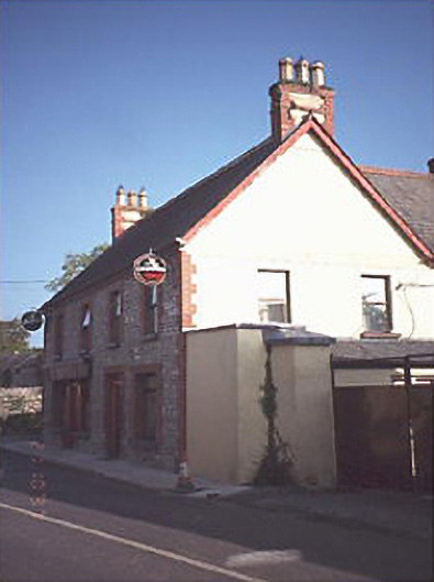 public housepublic house · 394 yd
Other information
Photo: Credit not shown in the picture search · Rights wording not checked; contact us if this picture should be removed