DDiscover AloneMapAbout

Castle in Drummond Otra

House, fortified house
Castle in Drummond Otra
Representative picture, exact place not confirmed
Photo: Maker not stated on source page, ru.pinterest.com · Report the wrong picture

The monument record does not grant public access. Check the route and ask the landowner before entering private land.

What do you know about this place?Tap to add a comment or ask a question

What you write will be public.

What is recorded here

On the accession of James I to the thrones of England and Ireland in 1603 the attainder against the second Earl of Essex who had been executed in 1601, was rescinded and his son, Robert Devereux the third earl and then only twelve years old, acquired vast estates, amongst which was the lease from the Crown of the…

Read the whole record
On the accession of James I to the thrones of England and Ireland in 1603 the attainder against the second Earl of Essex who had been executed in 1601, was rescinded and his son, Robert Devereux the third earl and then only twelve years old, acquired vast estates, amongst which was the lease from the Crown of the barony of Farney. His advisors leased it in 1606 to Ever Mac Cooley Mac Mahon, who had petitioned for it on the attainder of the second earl. When Mac Mahon died in 1618 the barony was let in smaller lots in an attempt to increase the revenue. In 1621 Lord Blaney advised Essex to build a castle and to plant English settlers, but the castle, known as Essex Castle, was not built until 1628-33. It was located c.800m W of what may have been Mac Cooley’s power centre at the crannog in Lough Lisanisk (MO031-037----). Essex himself resided at the castle for a time in 1633. In October 1641 Robert Branthwait, the earl’s agent, was caught unawares at the castle by the outbreak of rebellion, but he survived the ordeal and by September 1642 the castle was recaptured for the Crown by Lord Lysle. Thereafter, it continued in Royalist hands despite being besieged briefly the following month. When the third earl died without issue in 1646 the estate devolved through his sisters on the families of the Marquis of Hereford and Sir Robert Shirley who operated it as a joint venture until 1692. In 1656 they let the Farney lands to Richard Hampden and William Barton for 38 years. According to tradition during the Jacobite and Williamite disturbances (1688-9) the castle at Carrickmacross where Barton was living was burnt by the Jacobites, and it was never fully restored. After the division of the estate the castle was in the Hereford portion, which descended through the first and second Viscount of Weymouth to the Marquis of Bath where it remained into the late nineteenth century. A survey by Thomas Raven (1634) and published by Shirley (1879, 110) depicts the castle as a seven bay, two storey fortified house with three chimney stacks and three projecting wings on one long side, which probably house stairs as they have three levels (see attachment _1). There is an elaborate doorway at the ground level of the central projection. The house is within a rectangular bawn with circular corner towers at the S and W angles and with a fortified gateway between them. There are smaller postern gates on other walls as well as stables or outhouses built into the long walls of the bawn. On Raven’s survey there was only one other slate house in the vicinity (ibid. 264), which was an inn run by William Cesar, but there were some cabins near the castle as well as a larger collection of huts on the S side of the stream in the vicinity of Magheross church (MO031-035001-). The castle was described as in ruins in 1692, but thereafter it continued to provide a base for the land agents. A drawing of the castle from 1736 and published by Shirley (1845, 112) shows the house overlooking the river with a two-arched bridge (M031-105----), a mill and a well (MO031-138----) nearby. The house is essentially the same as in the Raven drawing, and is depicted as a five bay, two storey building with garrets within a bawn that has circular corner towers at the S and W angles and a fortified gatehouse between them. In 1851 William S. Trent became the land agent and he invested in rebuilding the castle (McKenna 1920, vol. 1 503-05). He probably constructed the block overlooking Castle Street, incorporating the corner towers of the bawn and the gatehouse. In 1888 the Bath estate was sold to its tenants, and Rev. Peter Birmingham, the Roman Catholic parish priest of Carrickmacross, purchased the castle and land extending SE to Lough Naglack for the Sisters of Saint Louis (ibid. 506-07). The sisters opened a boarding school for girls that still flourishes, although no longer taking boarders and without the involvement of the sisters. The castle is situated on a bluff overlooking a NW-SE stream and its bridge. It is represented as an oblong structure (dims c. 35m NW-SE; c. 10m NE-SW) on the 1834 edition of the OS 6-inch map, and the location was later occupied by Trent’s house and the convent of St. Louis, which could incorporate some of the original fabric. The castellated central block could be built around the gatehouse and the large bay windows at the NW and SE end-walls of this block could incorporate the corner towers of the bawn (see attached image _2). The bawn would have occupied the area of the school (dims c. 60m NE-SW; c. 35-40m NW-SE) between the convent building and Distillery Lane at the NE end. Archaeological testing (00E0129) c. 100m E of the school produced no related material (O'Carroll 2000). See the attached images: _1 Raven's view from 1634, after Shirley (1879, 110) _2 View from SW showing the castellated structure in the Covent wing, courtesy of the National Inventory or Architectural Heritage The above description is derived from the published 'Archaeological Inventory of County Monaghan' (Dublin: Stationery Office, 1986).

From the National Monuments Service (Archaeological Survey of Ireland) record MO031-034

Places near here

Photo credits
  • National Inventory of Architectural Heritage
  • Maker not stated on source page, ru.pinterest.com
  • Maker not stated on source page, www.britainexpress.com
  • Maker not stated on source page, en.wikipedia.org
  • Stephan van Helden, Wikimedia Commons · CC BY-SA 4.0
  • Malene Thyssen, Wikimedia Commons · CC BY-SA 3.0
Magheross SchoolSchool · 77 yd

Explorer Tom Magheross School is a mid-nineteenth-century gem designed to handle a steeply sloped site with some clever…
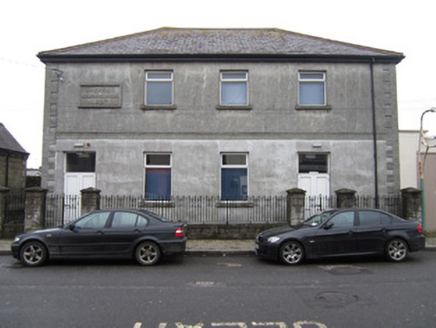
Jackson Memorial HallHall · 149 yd

Explorer Tom Jackson Memorial Hall in Drummond Otra has grand classical proportions that make it look like a tiny courthouse or…

HillsideHouse · 221 yd

Explorer Tom Hillside in Drummond Otra, Monaghan, is a house with canted bays that only curse you if you don’t wave at it properly.…
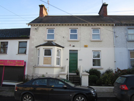
Aura HouseHouse · 230 yd

Explorer Tom Aura House in Drummond Otra, Monaghan, is one of a pair with canted bays that look like they’re trying to wink at you.…
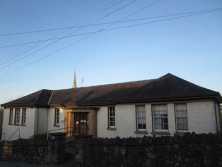
Otharcha Sláinte PuiblidheSurgery/clinic · 231 yd

Explorer Tom Otharcha Sláinte Puiblidhe nearly got famous when a celebrity sneezed inside and broke a window, or so the story goes.…
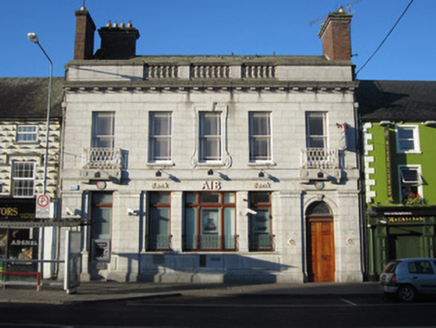
Allied Irish BankBank/financial institution · 239 yd

Explorer Tom Allied Irish Bank has a family tree that is mostly made up by people who want to sound important at parties. One door…

Bullaun stone in MagherossBullaun stone · 275 yd

Explorer Tom Bullaun stone in Magheross has a ghost living in it who is too lazy to actually haunt anyone. He mostly just snores and…
Fairy fort / earthen ringfort in KilmactrasnaFairy fort / earthen ringfort · 996 yd

Explorer Tom Fairy fort / earthen ringfort in Kilmactrasna had a massive feud with the next village over who got to name the lake…

Dry Bridge RisingCave rising · 1187 yd

Explorer Tom Dry Bridge Rising has the rabbits convinced it’s their personal trampoline. They bounce off the wet rocks with zero…

Horse-chestnut1270 yd

Explorer Tom Horse-chestnut in County Monaghan was likely planted after a bargain where someone promised to water it if it grew tall…

Dry Bridge SinkCave sink · 1299 yd

Explorer Tom Dry Bridge Sink would post a photo of its own mud face captioned 'living my best underground life.' It’s got zero chill…

European Beech1599 yd

Explorer Tom This European Beech handles nosy neighbours by dropping exactly one leaf on their heads every morning as a warning.…

More castles and forts in County Monaghan · All of County Monaghan

Add to this placeAdd a picture Add a detailed tip Add a story

Explore the map1,095,414 places to discover

Next place · or swipeMagheross School