What is recorded here
Fairy fort / earthen ringfort in Kilmactrasna stands on a rise overlooking a small lake, its circular banks and fosse still marking a boundary between human fields and forgotten life. The stone-lined entrance at NE suggests people once chose direction, visibility or ceremony when they entered. Local tradition may call it a fairy fort because the shape resists ordinary explanation, yet the measured earth and placed stones record a deliberate human hand.
Situated on a rise in a fairly level landscape overlooking a small subrectangular lake (dims c. 140m N-S; c. 85m E-W) which is c. 140m to the NE. This s a circular overgrown area (44m N-S; 43m E-W) with field stones at the centre defined by an earthen bank (at N: Wth of base 5m; int. H 0.65m; ext. H 2.3m) separated by a fosse (at S: Wth of top 4.1m; Wth of base 1.8m; ext. D 0.65m) from an outer bank (at S: Wth of base 3.6m; ext. H 1.1m) SE-W-NW that morphs into a field bank NW-NNE. There is an entrance gap (Wth at base 1.6m) at SW, but the original entrance is probably the stone-lined entrance (Wth of base 2.8m) at NE.
The above description is derived from the published 'Archaeological Inventory of County Monaghan' (Dublin: Stationery Office, 1986). In certain instances the entries have been revised and updated in the light of recent research.
Date of revision: 28 July 2017
The monument record does not grant public access. Check the route and ask the landowner before entering private land.
- What survives
- Recorded monument
Places near here
 European BeechEuropean Beech · 604 yd
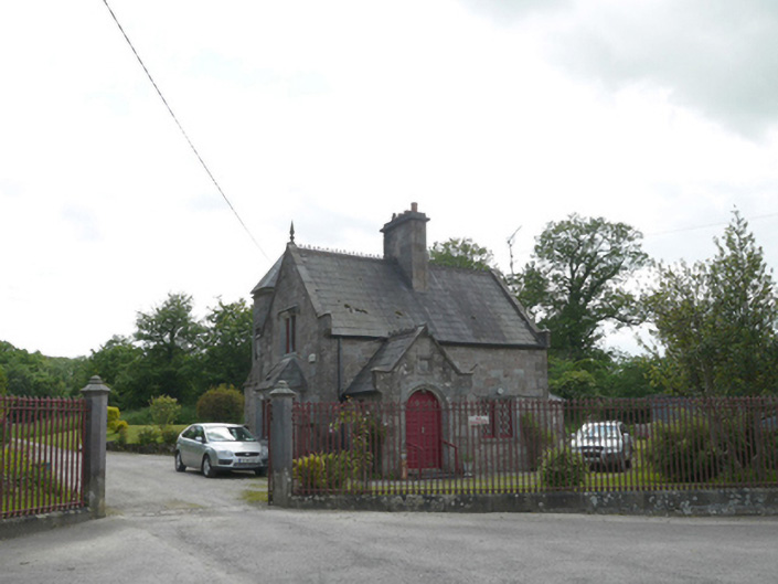 Lough Fea Housegate lodge · 790 yd
 CrossCross, Churchyard cross · 791 yd
 Magheross Graveyardchurch/chapel · 804 yd
 IndicatedEnclosure · 845 yd
 Monkey-puzzleMonkey-puzzle · 1027 yd
 Mannan Castle (in ruins)Castle, Anglo-Norman masonry castle · 3.0 mi
 TobernagalliaghSpring · 3.6 mi
 Drumerlough MoreMountain / peak · 3.7 mi
 BarleyhillMountain / peak · 4.3 mi
 Natural Play AreaMemorial · 4.3 mi
 In Memory of Our DadMemorial · 4.4 mi