What is recorded here
Indicated as semi-circular earthwork on the 1858 'OS 6-inch' map, with E side cut by buildings associated with thrashing. Heavily overgrown and planted with a variety of trees. Slopes steeply from E to W. Raised oval area (c. 60 m N-S; 30m E-W; H above fosse c. 6m) surrounded by fosse (max. Wth c. 2.5m) and outer bank (Wth c. 1.5m; H c. 1m). A mid 19th century structure with a circular element, known as 'the dairy' is located on top of earthwork to the N. This structure which is in disrepair may have been a folly or incorporated a folly. According to the landowner, this structure was inhabited by a herdsman for the Shirley Estate until the 1970s. The earthwork is probably a bund or earthwork barrier erected to prevent sound from the farmyard reaching the Lough Fea House, which is c. 150m to the W.
Indicated as semi-circular earthwork on the 1858 'OS 6-inch' map, with E side cut by buildings associated with thrashing. Heavily overgrown and planted with a variety of trees. Slopes steeply from E to W. Raised oval area (c. 60 m N-S; 30m E-W; H above fosse c. 6m) surrounded by fosse (max. Wth c. 2.5m) and outer bank (Wth c. 1.5m; H c. 1m). A mid 19th century structure with a circular element, known as 'the…
From the National Monuments Service (Archaeological Survey of Ireland) record MO031-104
The monument record does not grant public access. Check the route and ask the landowner before entering private land.
- What survives
- Recorded monument
Places near here
 Monkey-puzzle190 yd
 European Beech462 yd
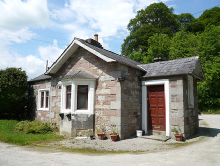 Lough Fea HouseGate lodge · 647 ydIndicatedCrannog · 942 yd
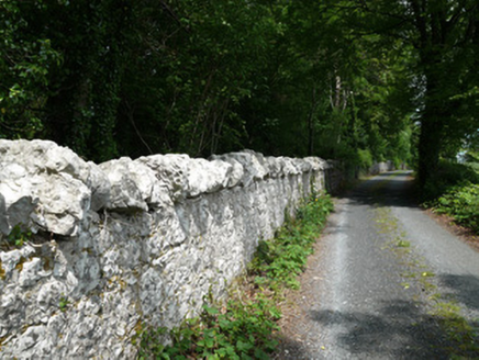 Lough Fea HouseGates/railings/walls · 1092 ydCrossCross, Churchyard cross · 1508 ydDrumerlough MoreMountain / peak · 3.3 mi
 Mannan Castle (in ruins)Castle, Anglo-Norman masonry castle · 3.5 miBarleyhillMountain / peak · 3.8 miNatural Play AreaMemorial · 3.9 miIn Memory of Our DadMemorial · 3.9 miCastle ruinsCastle, unclassified · 4.0 mi
Pictures: Vicente Fernández Rioja, Wikimedia Commons · CC BY-SA 4.0; Malene Thyssen, Wikimedia Commons · CC BY-SA 3.0; National Inventory of Architectural Heritage; Kieran Campbell, Geograph · CC BY-SA 2.0
More archaeology and monuments in County Monaghan · All of County Monaghan
What do you know about this place?