What is recorded here
Lough Fea is a subrectangular lake (dims c. 650-750m N-S; c. 370-420m E-W) at the heart of the Shirley estate. A small island (diam. c. 5m) is depicted as almost attached to the centre of the N shore of the lake only on the 1907 edition of the OS 6-inch map. No archaeological feature is visible at this location. A reference to the discovery of a palisaded island at Lough Fea in 1843 (Wood-Martin 1886, 193) are confused with a discovery at Lough Lisanisk (MO031-037----) (Shirley 1845, 94).
Lough Fea is a subrectangular lake (dims c. 650-750m N-S; c. 370-420m E-W) at the heart of the Shirley estate. A small island (diam. c. 5m) is depicted as almost attached to the centre of the N shore of the lake only on the 1907 edition of the OS 6-inch map. No archaeological feature is visible at this location. A reference to the discovery of a palisaded island at Lough Fea in 1843 (Wood-Martin 1886, 193) are…
From the National Monuments Service (Archaeological Survey of Ireland) record MO031-072
The monument record does not grant public access. Check the route and ask the landowner before entering private land.
- What survives
- Recorded monument
Places near here
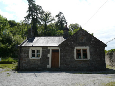 Lough Fea HouseGate lodge · 272 yd
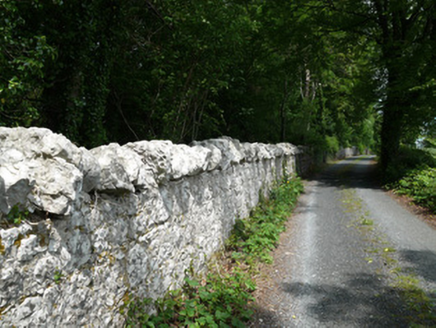 Lough Fea HouseGates/railings/walls · 276 yd
 Monkey-puzzle759 ydIndicatedEnclosure · 942 ydfrotFairy fort / earthen ringfort · 967 yd
 European Beech1142 ydDrumerlough MoreMountain / peak · 2.8 miNatural Play AreaMemorial · 3.4 miCastle ruinsCastle, unclassified · 3.5 mi
 Mannan Castle (in ruins)Castle, Anglo-Norman masonry castle · 3.9 mi
 Fair of MuffMemorial · 5.9 mi
 Fair of MuffVisitor information · 5.9 mi
Pictures: National Inventory of Architectural Heritage; Vicente Fernández Rioja, Wikimedia Commons · CC BY-SA 4.0; Malene Thyssen, Wikimedia Commons · CC BY-SA 3.0; Kieran Campbell, Geograph · CC BY-SA 2.0; Oliver Dixon, Geograph · CC BY-SA 2.0
More archaeology and monuments in County Monaghan · All of County Monaghan
What do you know about this place?