What is recorded here
Situated on the spine of a NNW-SSE ridge. It is depicted as an embanked enclosure (ext. diam. c. 45m) described as a ‘fort’ in gothic lettering only on the 1834 edition of the OS 6-inch map. A fragment of a bank (H c. 0.2m) was visible in the SE angle of a field in 1984. The field bank on the S side has been removed but the rath can be seen as a circular feature (diam. c. 35m) defined by what is probably a fosse feature on Bing images (2013).
Situated on the spine of a NNW-SSE ridge. It is depicted as an embanked enclosure (ext. diam. c. 45m) described as a ‘fort’ in gothic lettering only on the 1834 edition of the OS 6-inch map. A fragment of a bank (H c. 0.2m) was visible in the SE angle of a field in 1984. The field bank on the S side has been removed but the rath can be seen as a circular feature (diam. c. 35m) defined by what is probably a fosse…
From the National Monuments Service (Archaeological Survey of Ireland) record MO031-071
This remains an important historical record, but the official description says the monument is no longer visible or has been destroyed. The monument record does not grant public access. Check the route and ask the landowner before entering private land.
- What survives
- No visible remains or recorded as destroyed
Places near here
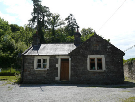 Lough Fea HouseGate lodge · 740 yd
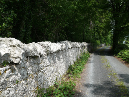 Lough Fea HouseGates/railings/walls · 746 ydIndicatedCrannog · 967 ydIndicatedFairy fort / ringfort · 1576 yd
 Monkey-puzzle1673 yd
 European Beech1.1 miDrumerlough MoreMountain / peak · 2.3 miNatural Play AreaMemorial · 3.1 miCastle ruinsCastle, unclassified · 3.2 mi
 Mannan Castle (in ruins)Castle, Anglo-Norman masonry castle · 4.2 mi
 Fair of MuffMemorial · 5.4 mi
 Fair of MuffVisitor information · 5.4 mi
Pictures: National Inventory of Architectural Heritage; Vicente Fernández Rioja, Wikimedia Commons · CC BY-SA 4.0; Malene Thyssen, Wikimedia Commons · CC BY-SA 3.0; Kieran Campbell, Geograph · CC BY-SA 2.0; Oliver Dixon, Geograph · CC BY-SA 2.0
More archaeology and monuments in County Monaghan · All of County Monaghan
What do you know about this place?