What is recorded here
Marked on Taylor and Skinner's map (P 3) of 1778 as 'Glidemouth Castle'. Only a very small portion of the W facade now survives. A renovated stone house has been built directly against its S side. At the time of a visit in 1966 it had the remains of a stairwell in the SE angle and a plain doorway in the S wall at first-floor level. The building had been converted into a dwelling house and the upper portions removed prior to 1966 when it was already in a totally ruined state. According to the Irish Schools MSS (vol. 671, 176) it was 30 ft. sq. and 60 ft high, for which see this web-page access on 26/04/2016 http://www.duchas.ie/en/cbes/5008858/4961404
The above description is derived from both the published 'Archaeological Inventory of County Louth' (Dublin: Stationery Office, 1986) and the 'Archaeological Survey of County Louth' (Dublin: Stationery Office, 1991). Date of revised upload: 26 April 2016
Marked on Taylor and Skinner's map (P 3) of 1778 as 'Glidemouth Castle'. Only a very small portion of the W facade now survives. A renovated stone house has been built directly against its S side. At the time of a visit in 1966 it had the remains of a stairwell in the SE angle and a plain doorway in the S wall at first-floor level. The building had been converted into a dwelling house and the upper portions…
From the National Monuments Service (Archaeological Survey of Ireland) record LH015-020
The monument record does not grant public access. Check the route and ask the landowner before entering private land.
- What survives
- Recorded monument
Places near here
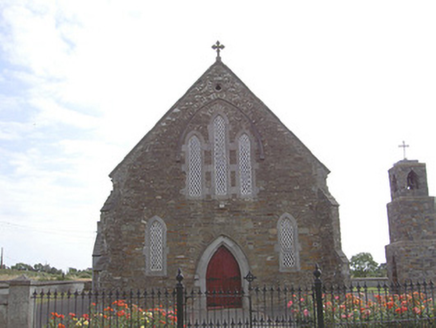 Saint Finian's Catholic ChurchChurch/chapel · 546 yd
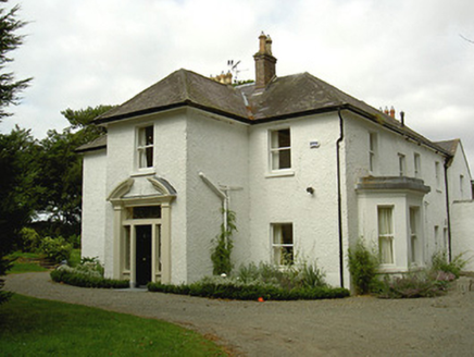 Ballygassan HouseHunting/fishing lodge · 1528 yd
 IndicatedGraveyard · 1.4 miTullydonnell HillMountain / peak · 1.6 mi
 IndicatedCastle, tower house · 1.9 mi
 GreenmountCastle, motte and bailey · 2.4 mi
 Graveyard in DysartGraveyard · 2.4 mi
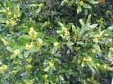 Sweet bay2.6 mi
 European Yew2.6 miDrummeenagh HillMountain / peak · 3.8 mi
 IndicatedGraveyard · 4.4 mi
 Port OrielPicnic place · 6.5 mi
Pictures: National Inventory of Architectural Heritage; Kieran Campbell, Geograph · Creative Commons Attribution-ShareAlike 2.0; Garry Dickinson, Geograph · CC BY-SA 2.0; Kieran Campbell, Geograph · CC BY-SA 2.0; Maker named on the Wikimedia Commons picture page · CC BY-SA 3.0; Sitomon, Wikimedia Commons · CC BY-SA 2.0; Oliver Dixon, Geograph · CC BY-SA 2.0
More castles and forts in County Louth · All of County Louth
What do you know about this place?