DDiscover AloneMapAbout

Castle in Castlepark

Castle, tower house
Castle in Castlepark
Representative picture, exact place not confirmed
Photo: Maker not stated on source page, imgur.com · Report the wrong picture

The monument record does not grant public access. Check the route and ask the landowner before entering private land.

What do you know about this place?Tap to add a comment or ask a question

What you write will be public.

What is recorded here

On a flat platform which falls away to E down to the flood plain of the River Suir, and Golden beyond the river, to E. Land rises to NW and slopes gradually to the S. A much modified tower house (ext. dims. 8.55m N-S; 5.9m E-W; wall T 1.2m) built of limestone rubble, roughly coursed. The castle is shown on the 1st…

Read the whole record
On a flat platform which falls away to E down to the flood plain of the River Suir, and Golden beyond the river, to E. Land rises to NW and slopes gradually to the S. A much modified tower house (ext. dims. 8.55m N-S; 5.9m E-W; wall T 1.2m) built of limestone rubble, roughly coursed. The castle is shown on the 1st (1840) ed. 6-inch OS map as a building on the grounds of Castlepark House, later renamed Mantlehill House. By the 2nd (1903-04) ed. the castle has been incorporated into a new entrance into the estate, so in the second half of the 19th century the tower house was altered to form a gateway, running E-W through the building. The tower house would originally have been at least four storeys high and there is a surviving stone vault over the first floor. A later section of stone vaulting was added onto the E end of the building and the E wall above the vault, including two pointed windows, appears to have been built when the tower house was converted into a gateway. The NE; SE and NW angles of the tower house have been rebuilt. The W end of the N wall has been refaced and a crack c. 0.3-0.4m wide in the middle of the N wall has been infilled. There are tie-stones projecting from the N end of the E wall up to a height of 2.7m. There is a buttress (H 1.85m; Wth 1.55m) at the E end of the S wall. A crudely rebuilt stairs (Wth 0.5m) rises in the N wall (T 1.3m) and is lit by two loops in the N wall and one at the N end of the E wall, all have crude stone surrounds and are badly spawled. At ground level there is a window embrasure at the W end of the S wall which is blocked up internally, the window is broken out. Roughly centrally placed in the S wall there is a round-headed opening for a doorway, with voussoirs forming the head. This doorway is blocked up and is not visible on the internal face. The first floor, which is beneath the vault, appears to have been entered from the stair via a doorway which has been partially blocked up to form a flat-headed window. This floor is likely to have been supported on a wooden floor carried on corbels. There appear to be the remains of three broken corbels on the internal face of the S wall, 2.4m above ground level. Only the eastern end of the second floor survives, entered from the stair at the N end of the E wall. There are two surviving embrasures, in the E (wall T 0.9m) and S wall (T 1.3m), both windows are broken out. At third-floor level only the NE angle and the E end of the N wall survives. A substantial wall (H c. 3.5m; Wth 1.5m; surviving L 0.45m), possibly a bawn wall (TS060-096001-), projects from the W end of the S wall.

From the National Monuments Service (Archaeological Survey of Ireland) record TS060-096

Places near here

Photo credits
  • National Inventory of Architectural Heritage
  • P L Chadwick, Wikimedia Commons · CC BY-SA 2.0
  • Neil Theasby, Geograph · CC BY-SA 2.0
  • Maker not stated on source page, www.joinmychurch.com
  • Maker not stated on source page, www.pinterest.com
  • Kmcnamee, Wikimedia Commons · CC BY-SA 4.0
worker's house222 yd

Explorer Tom Worker's house in Persse's-lot has had so many names that it just gives up and goes by whatever you call it. It’s a…
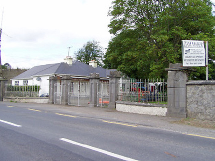
Mantlehill HouseGates/railings/walls · 265 yd

Explorer Tom Mantlehill House in Mantlehill Great has left only its fancy gates and railings standing, which is basically a skeleton…
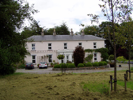
Athassel HouseCountry house · 353 yd

Explorer Tom Athassel House claims it survived a storm that could’ve peeled the roof off, but honestly, I think it just hid behind…
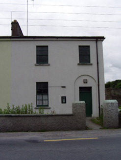
Golden Garda Síochána StationHouse · 373 yd

Explorer Tom Golden Garda Station in Persse'S-Lot smells like old paperwork and regret, according to my very reliable nose. The…

Castle in ruinsCastle, tower house · 461 yd

Explorer Tom Castle in Baurstookeen would tell a teenager that the 1800s were basically a long, damp Tuesday. It’s guarding a river…

bridge479 yd

Explorer Tom Baurstookeen Bridge saw the whole parish argue about which side was better and lost their minds. It spans two channels…

mill (water)511 yd

Explorer Tom Mill at Baurstookeen reviews its visitors as 'adequate but thirsty,' judging them by how much water they waste near the…

Church in BaurstookeenChurch · 518 yd

Explorer Tom Church in Baurstookeen has strict rules for visitors that involve not asking too many questions and definitely not…
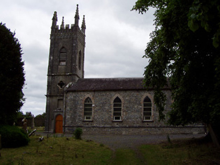
Golden Church (Relickmurry and Athassel)Church/chapel · 521 yd

Explorer Tom Golden Church is carved out of limestone so finely it looks like it might dissolve if you look at it too hard. It gave…

Standing stone in CastleparkStanding stone · 552 yd

Explorer Tom Standing stone in Castlepark leans west because it’s tired of facing the sun and wants a bit of shade for its limestone…

Golden/Kilfeacle GAA pitchGAA ground · 906 ydTombTomb, chest tomb · 1489 yd

Explorer Tom This chest tomb has an imaginary twin across the sea who is definitely jealous of its better lighting and more…

More castles and forts in County Tipperary · All of County Tipperary

Add to this placeAdd a picture Add a detailed tip Add a story

Explore the map1,095,414 places to discover

Next place · or swipeworker's house