
What is recorded here
On the N side of Golden bridge where it crosses a small island in the middle of the River Suir, at the SW end of the village. The present tower house was erected in the late 15th/early 16th century, probably as a Butler stronghold to guard the pass over the River Suir. Barry (1977, 147) suggests that an earlier 12th-14th century stone castle may have occupied this location, however, archaeological excavations in 2003 and 2004 revealed the walls of a substantial 13th/14th building (TS060-097014-) 100m to the E, immediately S of the bridge, which is probably the early castle (Moran 2006, 466-7; 2007, 410). The Civil Survey (1654-6) lists ‘James Earle of Ormond’ as proprietor of ‘Goulden’ in 1640 and describes ‘Upon this lands stands a castle with a bridge uppon a pass’ (Simington 1934, vol. 2, 7). During the Rising of 1641 over 120 men, women and children were beseiged in the tower house for 11 weeks (TCD, 1641 Depositions). This is a four storey circular tower house (int. diam. 6.2m; wall T 1.85m) composed of roughly coursed limestone rubble. The tower house was still intact in 1840, the OS Letters describing it as ‘a round castle or tower about sixteen feet [4.87m] in diameter on the inside and one hundred feet [30.48m] in circumference at the base on the outside. It is about fifty feet [15.24m] high and had three floors, the uppermost of which rested on a stone arch still remaining’ (O’Flanagan 1930, vol. 1, 83 (221). Currently only the eastern half survives, including the ground to first-floor spiral stairs and portions of the second and third floors. The ground floor appears to have been vaulted. There are two cut-limestone circular gun-ports facing E and SE respectively, one of which looks out from the stairwell, and two arrow loops facing E and NE. There is a single-light ogee-headed window at third-floor level. The base of the parapet is defined by a string-course with drainage holes above.
On the N side of Golden bridge where it crosses a small island in the middle of the River Suir, at the SW end of the village. The present tower house was erected in the late 15th/early 16th century, probably as a Butler stronghold to guard the pass over the River Suir. Barry (1977, 147) suggests that an earlier 12th-14th century stone castle may have occupied this location, however, archaeological excavations in…
From the National Monuments Service (Archaeological Survey of Ireland) record TS060-097001
The monument record does not grant public access. Check the route and ask the landowner before entering private land.
- What survives
- Recorded monument
Places near here
 bridge25 yd
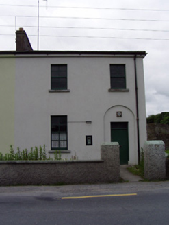 Golden Garda Síochána StationHouse · 105 yd
 Athassel PrioryHeritage attraction · 1.2 mi
 Thomastown Castle GateRuins · 2.0 mi
 Thomastown CastleCastle · 2.1 mi
 Hore AbbeyHeritage attraction · 3.9 mi
 European ash5.0 mi
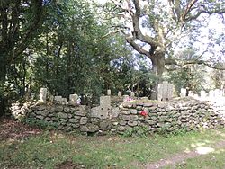 CrossCross, High cross · 7.2 mi
 The Maid of ErinMemorial · 7.8 mi
 The RockViewpoint · 8.4 mi
 Christ the KingViewpoint · 9.0 mi
 FarbreagaMountain / peak · 9.6 mi
Pictures: Neil Theasby, Geograph · CC BY-SA 2.0; National Inventory of Architectural Heritage; Jschroeder85, Wikimedia Commons · CC BY-SA 3.0; Garry Dickinson, Geograph · CC BY-SA 2.0; Jonathan Thacker, Geograph · CC BY-SA 2.0; Willow, Wikimedia Commons · CC BY 2.5; Deemaykay, Wikimedia Commons · CC BY-SA 4.0; Graham Horn, Wikimedia Commons · CC BY-SA 2.0; Colin Park, Geograph · CC BY-SA 2.0; N Chadwick, Geograph · CC BY-SA 2.0; kevin higgins, Geograph · CC BY-SA 2.0
More castles and forts in County Tipperary · All of County Tipperary
What do you know about this place?