
What is recorded here
On a flat platform which falls away to E down to the flood plain of the River Suir, and Golden beyond the river, to E. Land rises to NW and slopes gradually to the S. A substantial limestone rubble, roughly coursed wall (H c. 3.5m; Wth 1.5m; surviving L 0.45m), possibly a bawn wall, projects from the W end of the S wall of a much modified tower house (TS060-096----). There is no other visible evidence of a bawn above ground.
Compiled by: Jean Farrelly
Date of upload: 11 December 2012
The Bawn in Castlepark was likely constructed in the late medieval period, possibly by a local Gaelic lord or Anglo-Norman family, as a defensive structure amid the strategic landscape of the River Suir. It is remembered for its prominent position and the remains of its substantial limestone walling, indicative of regional castle-building traditions.
The monument record does not grant public access. Check the route and ask the landowner before entering private land.
- What survives
- Recorded monument
Places near here
 worker's houseworker's house · 217 yd
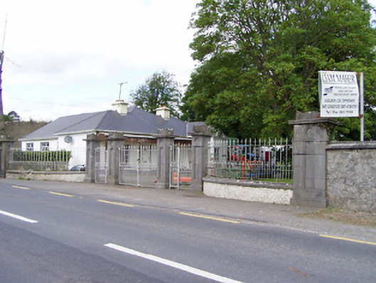 Mantlehill Housegates/railings/walls · 262 yd
 Castle in ruinsCastle, tower house · 459 yd
 GoldenSettlement cluster · 558 yd
 Enclosure in Springmount (relickmurray & Athassel Par.)Enclosure · 1266 yd
 CastleCastle, motte · 1312 yd
 Athassel PrioryHeritage attraction · 1.3 mi
 Hore AbbeyHeritage attraction · 4.1 mi
 European ashEuropean ash · 4.8 mi
 Dundrum Woods (Marl Bog)Forest · 4.9 mi
 The Maid of ErinMemorial · 7.5 mi
 SturrakeenMountain / peak · 7.9 mi
Other information
Photo: Credit not shown in the picture search · Rights wording not checked; contact us if this picture should be removed