What is recorded here
In tillage, on a gentle S-facing slope. Identified as a circular cropmark on aerial photographs (ASIAP (34)19-21,24). No visible surface trace.
Compiled by: Jean Farrelly
Date of upload: 26 August 2011
A local fairy fort (ringfort/rath); wider significance not recorded.
The monument record does not grant public access. Check the route and ask the landowner before entering private land.
- What survives
- Recorded monument
Places near here
 IndicatedEnclosure · 197 yd
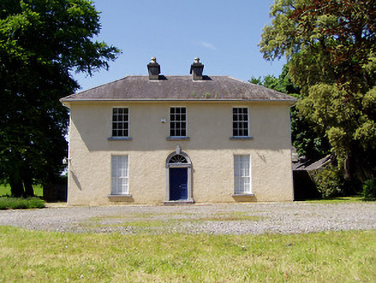 Springmount Househouse · 487 yd
 CroonacrushaCross · 635 yd
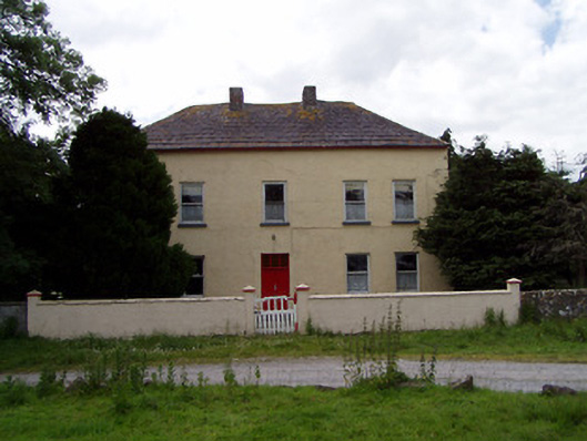 Golden Hillsfarmyard complex · 855 yd
 CastleHouse, fortified house · 1169 yd
 Bawn in CastleparkBawn · 1266 yd
 Athassel PrioryHeritage attraction · 2.0 mi
 Dundrum Woods (Marl Bog)Forest · 4.2 mi
 European ashEuropean ash · 4.6 mi
 The Maid of ErinMemorial · 7.4 mi
 The RockViewpoint · 8.2 mi
 SturrakeenMountain / peak · 8.4 mi
Other information
Photo: Credit not shown in the picture search · Rights wording not checked; contact us if this picture should be removed