
What is recorded here
In improved pasture, lying prostrate (long axis NE-SW) adjacent to WNW of cairn (TS060-072001-). Sub-rectangular piece of cut sandstone conglomerate (L 1.04m; Wth 0.2-0.28m; T 0.2-0.22m) with narrow projection at one end. Worn punch-dressed effect on surface may be natural. Large irregular sandstone to SW. Site of holy well (TS060-072003-) adjacent to NW. According to OS Namebooks (O'Donovan 1840), this is the 'site of a well, [and] a small cairn with a cross upon it'.
Compiled by: Jean Farrelly
Date of upload: 09 July 2014
A local church or high cross; wider significance not recorded.
The monument record does not grant public access. Check the route and ask the landowner before entering private land.
- What survives
- Recorded monument
Places near here
 Enclosure in Springmount (relickmurray & Athassel Par.)Enclosure · 635 yd
 Cloghportagh fortEnclosure · 723 yd
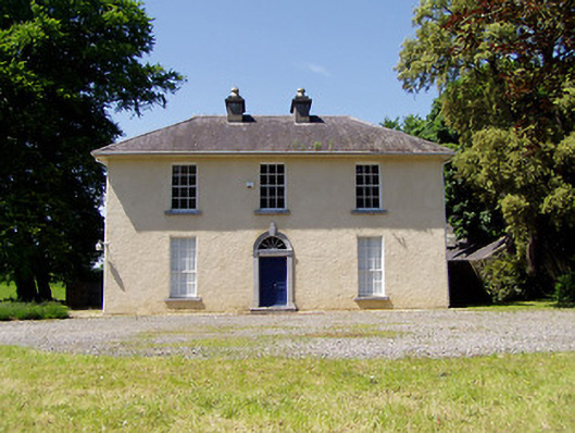 Springmount Househouse · 1105 yd
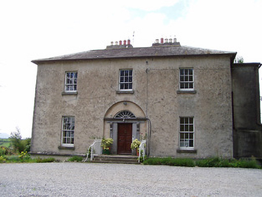 Golden Rectoryrectory/glebe/vicarage/curate's house · 1139 yd
 Bawn in CastleparkBawn · 1511 yd
 CastleHouse, fortified house · 1702 yd
 Athassel PrioryHeritage attraction · 2.0 mi
 Dundrum Woods (Marl Bog)Forest · 4.0 mi
 European ashEuropean ash · 4.3 mi
 Hore AbbeyHeritage attraction · 4.6 mi
 The Maid of ErinMemorial · 7.0 mi
 The RockViewpoint · 7.9 mi
Other information
Photo: Credit not shown in the picture search · Rights wording not checked; contact us if this picture should be removed