What is recorded here
In pasture, on a W-facing slope. Circular area (dims. 34m NE-SW; 32m NW-SE) defined by low bank (overall Wth 9.1m; Wth at top 3.3m; int. H 0.2m; ext. H 0.55m) which is reduced to scarp (Wth 1.5m; H 0.4m) SSE-SSW. Gap (Wth 6m) at NNE. Fosse (overall Wth 4.15-7.95m; basal Wth 1.25-2.9m; D 0.15-0.4m). Outer bank (overall Wth 4.55m; Wth at top 1m; int. H 0.4m; ext. H 0.15m) NE-WSW is best defined NE-SE and is breached (Wth 7m) at ESE. Interior has a slightly uneven surface and contains building (TS060-6NEW) within WSW-sector. Field boundaries to W and N removed.
Compiled by: Jean Farrelly
Date of upload: 26 August 2011
The monument record does not grant public access. Check the route and ask the landowner before entering private land.
- What survives
- Recorded monument
Places near here
 CroonacrushaCross · 723 yd
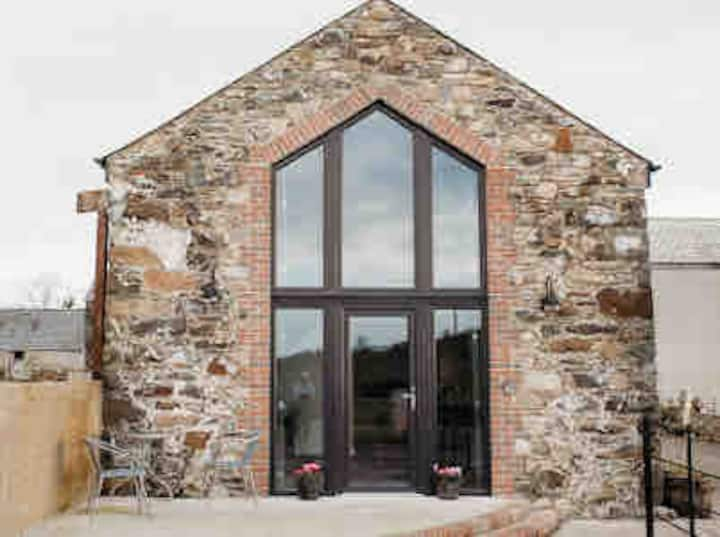 Enclosure in Springmount (relickmurray & Athassel Par.)Enclosure · 1319 yd
 Cahervillehowe Housecountry house · 1483 yd
 Bawn in Ballinaclogh (rathlynin Par.)Bawn · 1549 yd
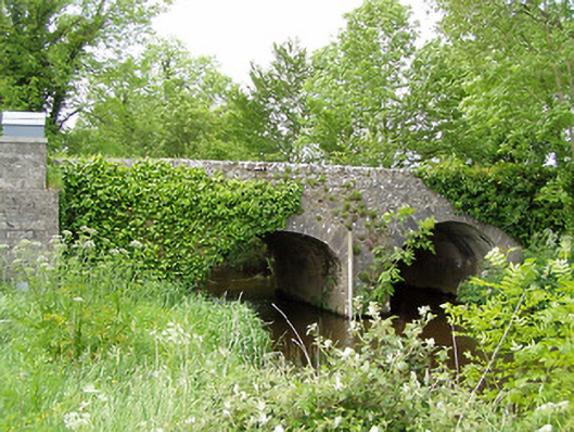 Ballinaclogh Bridgebridge · 1708 yd
 Bawn in CastleparkBawn · 1.2 mi
 Athassel PrioryHeritage attraction · 2.3 mi
 Dundrum Woods (Marl Bog)Forest · 3.8 mi
 European ashEuropean ash · 3.9 mi
 Hore AbbeyHeritage attraction · 5.0 mi
 The RockViewpoint · 7.6 mi
 SturrakeenMountain / peak · 8.2 mi
Other information
Photo: Credit not shown in the picture search · Rights wording not checked; contact us if this picture should be removed