
What is recorded here
Bawn in Ballinaclogh is a large rectangular enclosure in Tipperary pasture, holding a ruined castle off-centre to the west and a possible leat carrying waste and rainwater east across the grass. The inner and outer scars form a broad yard where people may have kept animals, stored things, or simply lived beside the castle. Its lines are still visible in the land, even if the names and rooms have thinned into silence.
In pasture, on a low rise. Roughly rectangular area (dims. c. 46m N-S; 34m E-W) defined by scarp (Wth 4.75m; H 1.05m) to W, N and E and low scarp (Wth 1.9m; H 0.45m) to S. Fosse (overall Wth 6.55m; basal Wth 2.5m; D 0.3m) to E and slightly lower in profile to S (overall Wth 6.55m; Wth at base 2.5m; D 0.35m). Castle (TS060-040001-) is within, off-centre to W and various other irregular features are evident across the interior. Possible leat (long axis c. E-W) (dims. L 26m; max. Wth c. 6m; average D 0.55m) falls on an E-facing gradient from base of castle at E and across the enclosure to exterior. This may have served a drainage purpose taking foul waste from the garderobe and run-off water from the castle. An outer enclosing element encloses the rectangular enclosure to W and N and is defined by a low scarp (max. Wth 4.2m; max. D 0.9m) to S, S-half of W-side and N-side. Several rectangular areas exist between the inner and outer enclosure along the N-side. Remains of a barely traceable annexe survives as a low terrace adjoining S-end, W-side. Rectangular enclosure and outer enclosure (total dims. 94m N-S; 64m E-W) form a large roughly rectangular area. Depicted on latest edition OS 6-inch map as a rectangular area (dims. c. 60m N-S; c. 40m E-W) enclosed to S, W and N by an outer element which together form a larger rectangular area (dims. c. 90m N-S; c. 80m E-W). 'Ballinaclogh Castle (in ruins)' is named and depicted off-centre to W of the smaller rectangular area.
Compiled by: Jean Farrelly
Date of upload: 26 August 2011
The monument record does not grant public access. Check the route and ask the landowner before entering private land.
- What survives
- Recorded monument
Places near here
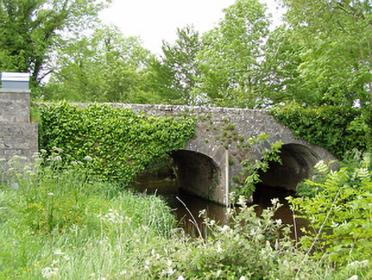 Ballinaclogh Bridgebridge · 317 yd
 Enclosure in Ballinaclogh (relickmurray & Athassel Par.)Enclosure · 414 yd
 Enclosure in MoghEnclosure · 594 yd
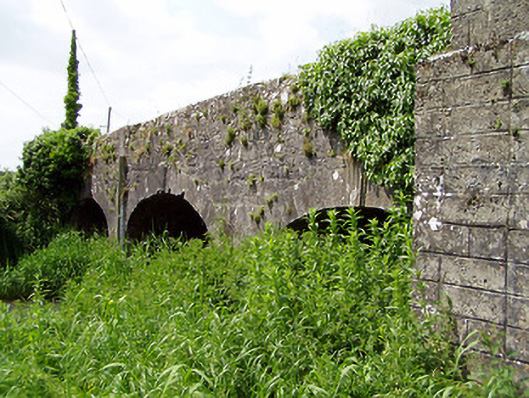 Aughnagross Bridgebridge · 1078 yd
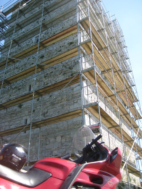 Grantstown Castle (in ruins)Castle, tower house · 1.1 mi
 Grantstown CastleCastle · 1.1 mi
 European ashEuropean ash · 1.7 mi
 Dundrum Woods (Marl Bog)Forest · 2.9 mi
 Athassel PrioryHeritage attraction · 3.2 mi
 The RockViewpoint · 7.8 mi
 Christ the KingViewpoint · 8.5 mi
 Glen of AherlowViewpoint · 8.5 mi
Other information
Photo: Credit not shown in the picture search · Rights wording not checked; contact us if this picture should be removed