
What is recorded here
At interface between ungrazed margin of improved pasture to S and E and extensive area of disused gravel quarry to W. Multeen river to N. Very little definitive indication of enclosure due to disturbance by quarrying. Depicted on first edition OS 6-inch map as a rectangular enclosure (dims. c. 40m N-S; c. 30m E-W) truncated by trackway to N. Depicted on latest edition OS 6-inch map as a curvilinear feature (C c. 30m NNE-SSW). Large mounds of spoil around open quarry and spoil material within area of monument. Short section of bank (overall Wth 5.25m; Wth at top 0.75m; int. H 1.25m; ext. H 0.75m; L 6m) at N may be associated with quarrying. Large curvilinear mound in an area similar to that depicted on latest edition OS 6-inch map, but again this may be quarrying spoil.
Compiled by: Jean Farrelly
Date of upload: 26 August 2011
The monument record does not grant public access. Check the route and ask the landowner before entering private land.
- What survives
- Recorded monument
Places near here
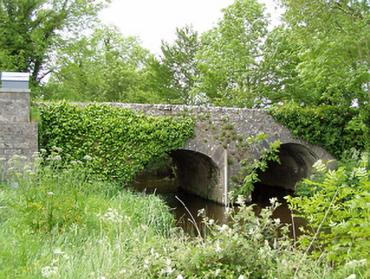 Ballinaclogh Bridgebridge · 188 yd
 Enclosure in MoghEnclosure · 400 yd
 Bawn in Ballinaclogh (rathlynin Par.)Bawn · 414 yd
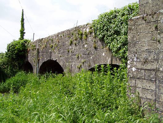 Aughnagross Bridgebridge · 690 yd
 Enclosure in Kilmore LowerEnclosure · 1091 yd
 Castle (in ruins)Castle, tower house · 1663 yd
 European ashEuropean ash · 1.5 mi
 Dundrum Woods (Marl Bog)Forest · 2.9 mi
 Athassel PrioryHeritage attraction · 3.1 mi
 The RockViewpoint · 8.0 mi
 Christ the KingViewpoint · 8.7 mi
 Glen of AherlowViewpoint · 8.8 mi
Other information
Photo: Credit not shown in the picture search · Rights wording not checked; contact us if this picture should be removed