
What is recorded here
In lush pasture (silage). No visible surface trace. Identified as a roughly circular feature on an aerial photograph (GSI R. 435/4, 16/04/1974). Slight curvilinear depression noted NE-SW may be feature identified on aerial photograph. Enclosures (TS060-035----, TS060-035001- and TS060-035002-) are c. 250m to NW.
Compiled by: Jean Farrelly
Date of upload: 26 August 2011
The monument record does not grant public access. Check the route and ask the landowner before entering private land.
- What survives
- Recorded monument
Places near here
 Enclosure in Kilmore UpperEnclosure · 367 yd
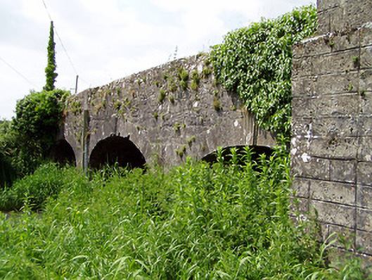 Aughnagross Bridgebridge · 439 yd
 Enclosure in Ballinamona (oughterleague Par.)Enclosure · 696 yd
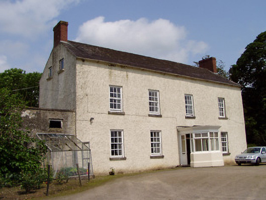 Kilmore Househouse · 696 yd
 Castle (in ruins)Castle, tower house · 774 yd
 Bawn in Ballinaclogh (rathlynin Par.)Bawn · 1496 yd
 European ashEuropean ash · 1631 yd
 Dundrum Woods (Marl Bog)Forest · 2.9 mi
 Athassel PrioryHeritage attraction · 3.3 mi
 Hore AbbeyHeritage attraction · 4.7 mi
 The Maid of ErinMemorial · 7.4 mi
 The RockViewpoint · 8.7 mi
Other information
Photo: Credit not shown in the picture search · Rights wording not checked; contact us if this picture should be removed