
What is recorded here
In improved pasture. No visible surface trace. Depicted on latest edition OS 6-inch map as a circular area (diam. c. 40m). Identified on aerial photograph (ASIAP (34) 21) as a circular cropmark [no date]. NGR location is within an oval depression (dims. 20m E-W; 13m N-S) defined by a scarp (max. Wth 9m; max. H 1.5m).
Compiled by: Jean Farrelly
Date of upload: 26 August 2011
The monument record does not grant public access. Check the route and ask the landowner before entering private land.
- What survives
- Recorded monument
Places near here
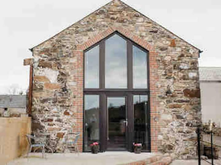 Enclosure in Springmount (relickmurray & Athassel Par.)Enclosure · 197 yd
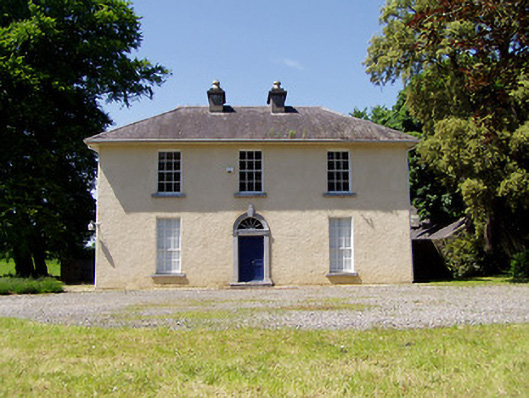 Springmount Househouse · 498 yd
 Enclosure in GoldenhillsEnclosure · 515 yd
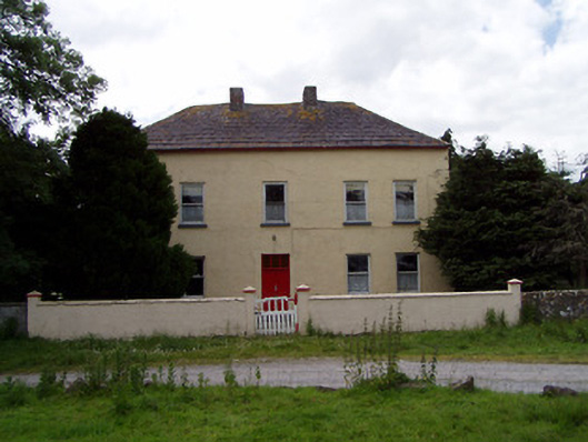 Golden Hillsfarmyard complex · 660 yd
 CastleHouse, fortified house · 986 yd
 Bawn in CastleparkBawn · 1424 yd
 Athassel PrioryHeritage attraction · 2.1 mi
 Dundrum Woods (Marl Bog)Forest · 4.1 mi
 Maudemount BogWood · 4.6 mi
 The Maid of ErinMemorial · 7.4 mi
 The RockViewpoint · 8.3 mi
 SturrakeenMountain / peak · 8.5 mi
Other information
Photo: Credit not shown in the picture search · Rights wording not checked; contact us if this picture should be removed