
What is recorded here
Towards the N end and highest point of relatively flat-topped Doomore Mountain. The site overlooks Ballysadare Bay and commands a magnificent outlook in all directions. This is a circular cairn (diam. 21m; H c. 2m) the perimeter of which is under peat-grown heather. Towards the western edge of the flat top of the…
Read the whole record
From the National Monuments Service (Archaeological Survey of Ireland) record SL019-177
Places near here
Photo credits
- Maker not stated on source page, commons.wikimedia.org
- Maker not stated on source page, en.wikipedia.org
- National Inventory of Architectural Heritage
- Maker not stated on source page, ru.pinterest.com
- Choose Sligo; photographer not stated, Choose Sligo
- Kmcnamee, Wikimedia Commons · CC BY-SA 4.0
- Sheila1988 / Wikimedia Commons, commons.wikimedia.org
- Niallio77, Wikimedia Commons · CC BY-SA 3.0
- Maelor at English Wikipedia, Wikimedia Commons · Public domain
- Andreas F. Borchert, Wikimedia Commons · CC BY-SA 4.0
 Earthwork in CrockacullionEarthwork · 1524 yd
Explorer Tom Earthwork in Crockacullion is sitting on the Ox Mountains looking smug, probably waiting for Saint Patrick to show up…
 Anomalous stone group in LugbaunAnomalous stone group · 1.0 mi
Explorer Tom Anomalous stone group in Lugbaun has a name that sounds like it means 'Big Rock Party' or something equally useless.…
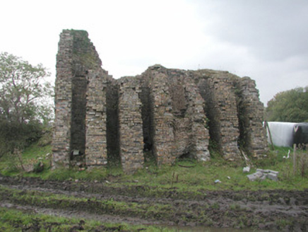 Coolaney Brick WorksKiln · 1.3 mi
Explorer Tom Coolaney Brick Works would be absolute gold on a reality show, mostly because it’s slowly collapsing into the earth…
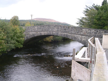 bridge1.3 mi
Explorer Tom Bridge in Coolaney has made its New Year's resolution to stop cars from driving over it like it’s a speed bump. It’s an…
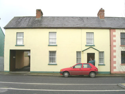 court house1.4 mi
Explorer Tom Court house in Coolaney, County Sligo would win a county fair by simply judging everyone else with its asymmetrical…
 CastleCastle, unclassified · 1.6 mi
Explorer Tom Castle in Coolaney is an O'Hara ruin that has an imaginary twin across the sea, which probably sends it postcards every…
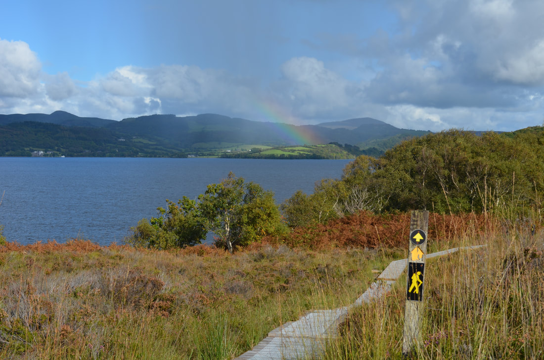 Sligo WayWalking route · 2.4 mi
Explorer Tom The Sligo Way begins near Lough Talt in the Ox Mountains and eventually carries walkers all the way to Dromahair…
 Ballisodare GAAGAA ground · 3.4 mi
 Ransboro Park, Coolera/StrandhillGAA ground · 4.2 mi
 CulleenamoreBeach / strand · 4.4 mi
Explorer Tom Culleenamore Strand hides behind Strandhill's Atlantic swagger, facing into Ballysadare Bay where the sandbanks and sky…
 Queen Medb's Cairn: KnocknareaLegend location · 4.6 mi
Explorer Tom Queen Medb's Cairn: Knocknarea sits high on the mountain, and legend gives it a queen for an occupant. It is an…
 The Cailleach: CarrowmoreLegend location · 5.3 mi
Explorer Tom The Cailleach: Carrowmore is a field of ancient tombs with a woman in the stories powerful enough to shape the land…
More archaeology and monuments in County Sligo · All of County Sligo

What do you know about this place?Tap to add a comment or ask a question