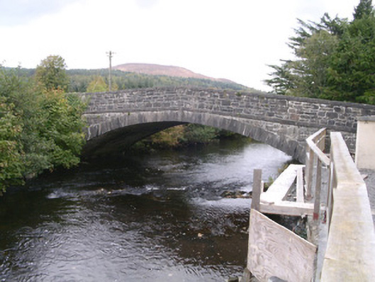
What is recorded here
Single-arch stone road-over-river bridge, built c. 1833. Coursed squared rubble limestone walling, inverted shallow V-shape to parapets, plain ashlar parapet string course, plain square ashlar parapet copings. Elliptical-headed arch, dressed limestone ashlar voussoirs, smooth-rendered soffit. Bitmac two carriageway road over. Grass banks sloping to river. Bridge spans Owenbeg River.
This elegant bridge is finely engineered and exhibits good quality stone masonry. It is of historic and social significance as a reminder of the road network which developed in Ireland during the mid-nineteenth century.
From the Buildings of Ireland (National Inventory of Architectural Heritage) record 32312001
This does not grant access. Most recorded buildings are privately owned; view them only from public ground unless the owner allows entry.
Places near here
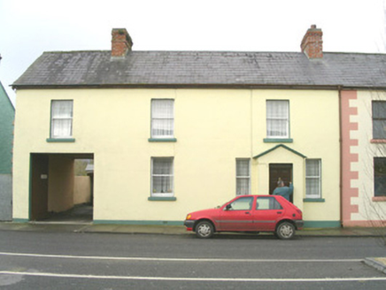 court house217 ydIndicatedCastle, motte · 225 yd
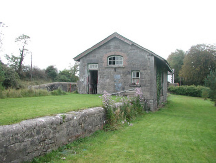 Leyny Railway StationStore/warehouse · 783 ydEnclosure in RathoseyEnclosure · 931 ydEnclosure in RathoseyEnclosure · 964 ydTullaghan HillMountain / peak · 1679 ydDoomoreMountain / peak · 1.3 miMoymlough Castle (in Ruins)Castle, tower house · 1.5 mi
 European ash3.3 miEuropean ash3.9 mi
 Teeling MonumentMemorial · 4.5 mi
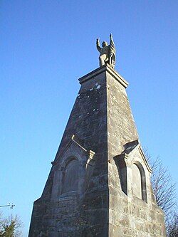 Battle of CollooneyBattle · 4.5 mi
Pictures: National Inventory of Architectural Heritage; Willow, Wikimedia Commons · CC BY 2.5; Djedi Guy, Wikimedia Commons · CC BY-SA 4.0; GTD Aquitaine, Wikimedia Commons · Public domain
More historic places in County Sligo · All of County Sligo
What do you know about this place?