What is recorded here
In undulating pasture, on the W bank of the Owenbeg River. A circular flat-topped mound (diam. c. 20m; H 2.5m) with a slightly rounded top. At SE the mound drops c. 5m down to the river. It is densely overgrown with brambles and bushes.
From the National Monuments Service (Archaeological Survey of Ireland) record SL025-020
The monument record does not grant public access. Check the route and ask the landowner before entering private land.
- What survives
- Recorded monument
Places near here
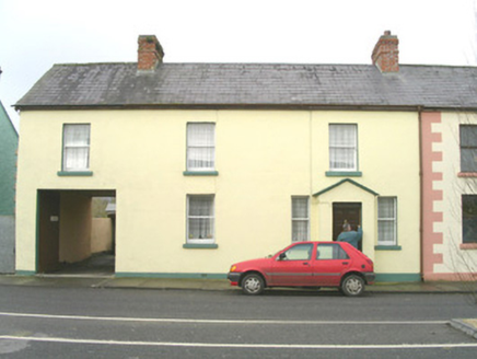 court house135 yd
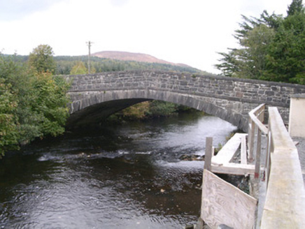 bridge225 ydEnclosure in RathoseyEnclosure · 948 ydEnclosure in RathoseyEnclosure · 950 ydTullaghan HillMountain / peak · 1.1 miDoomoreMountain / peak · 1.4 miMoymlough Castle (in Ruins)Castle, tower house · 1.6 miRinnatalleenHeadland · 3.1 mi
 European ash3.3 miEuropean ash3.9 mi
 Teeling MonumentMemorial · 4.6 mi
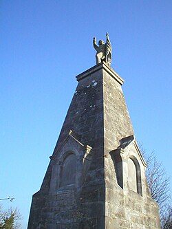 Battle of CollooneyBattle · 4.6 mi
Pictures: National Inventory of Architectural Heritage; Willow, Wikimedia Commons · CC BY 2.5; Djedi Guy, Wikimedia Commons · CC BY-SA 4.0; GTD Aquitaine, Wikimedia Commons · Public domain
More castles and forts in County Sligo · All of County Sligo
What do you know about this place?