What is recorded here
Castle in Coolaney belonged to the O'Hara line and still occupied the west end of the village when a map was drawn in 1716. O'Rorke claimed that remains stood in a local garden until shortly before his account appeared, yet no trace was visible when the site was examined in 1994. The castle may have been swallowed by a house, buried under a road or simply forgotten after doing its part in the village's shape.
An O'Hara castle, of which some remains, according to O'Rorke ([1889], vol. 2, 59), 'stood in a garden at the W end of Coolaney village till very recently'; the castle is shown in this location on a map of 1716 (Farry 1985, 40). While the precise location of this castle is not known, there were no apparent remains of it at the W end of Coolaney village when the site was inspected in 1994.
The above description is derived from the published 'Archaeological Inventory of County Sligo' compiled by Ursula Egan, Elizabeth Byrne, Mary Sleeman with Sheila Ronan and Connie Murphy (Dublin Stationery Office, 2005).
Date of revision: 22 April 2010
The castle in Coolaney was built by the O'Hara family and is recorded as existing by the early 18th century. It is remembered for its historical association with the O'Hara clan and for its remains, which persisted in the village until recent times.
The monument record does not grant public access. Check the route and ask the landowner before entering private land.
- What survives
- Recorded monument
Places near here
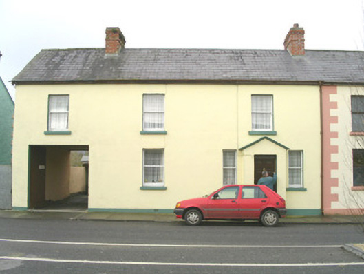 court housecourt house · 635 yd
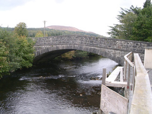 bridgebridge · 695 yd
 IndicatedCastle, motte · 770 yd
 Enclosure in MoymloughEnclosure · 1087 yd
 Enclosure in RathoseyEnclosure · 1658 yd
 Tullaghan HillMountain / peak · 1.0 mi
 Moymlough Castle (in Ruins)Castle, tower house · 1.2 mi
 DoomoreMountain / peak · 1.6 mi
 RinnatalleenHeadland · 3.2 mi
 European ashEuropean ash · 3.6 mi
 Derinch PointHeadland · 3.6 mi
 ElderElder · 4.1 mi