What is recorded here
In level elevated pasture; the ground falls away gradually to N giving extensive views over broad expanses of low-lying pasture and bog. A slightly raised subrectangular area (42m NNE-SSW; 23m WNW-ESE) defined on the N, E and the N half of the W side by a low bank of earth and stone (Wth 2m; int. H 0.5m; ext. H 0.75m)…
Read the whole record
From the National Monuments Service (Archaeological Survey of Ireland) record SL026-006
Places near here
Photo credits
- National Inventory of Architectural Heritage
- Maker not stated on source page, ru.pinterest.com
- Maker not stated on source page, commons.wikimedia.org
- Maker not stated on source page, www.tripadvisor.com
- Kmcnamee, Wikimedia Commons · CC BY-SA 4.0
- Zxcode / Wikimedia Commons, commons.wikimedia.org
- Maker not stated on source page, za.pinterest.com
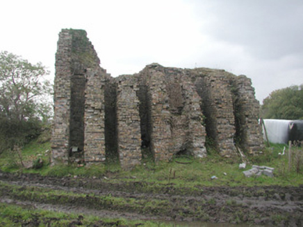 Coolaney Brick WorksKiln · 647 yd
Explorer Tom Coolaney Brick Works would be absolute gold on a reality show, mostly because it’s slowly collapsing into the earth…
 CastleCastle, unclassified · 1087 yd
Explorer Tom Castle in Coolaney is an O'Hara ruin that has an imaginary twin across the sea, which probably sends it postcards every…
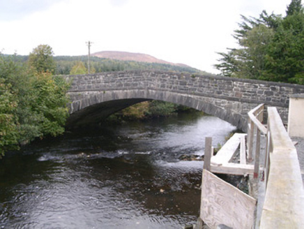 bridge1515 yd
Explorer Tom Bridge in Coolaney has made its New Year's resolution to stop cars from driving over it like it’s a speed bump. It’s an…
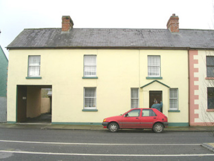 court house1588 yd
Explorer Tom Court house in Coolaney, County Sligo would win a county fair by simply judging everyone else with its asymmetrical…
 St. Fechins Church (Site of)Church · 1.0 mi
Explorer Tom St. Fechins Church is basically a giant grassy rug with some stones poking out like knuckles. A pigeon has claimed the…
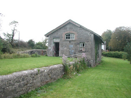 Leyny Railway StationStore/warehouse · 1.0 mi
Explorer Tom Leyny Railway Station in Coolaney is where a local lad claims he invented the concept of waiting. The goods shed is…
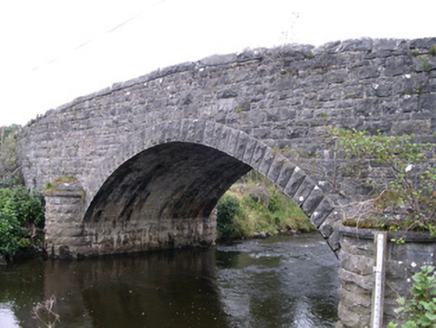 Billa BridgeBridge · 1.2 mi
Explorer Tom Billa Bridge over the Owenbeg is an imposing feature that even Vikings missed on their way south. The stone plaques are…
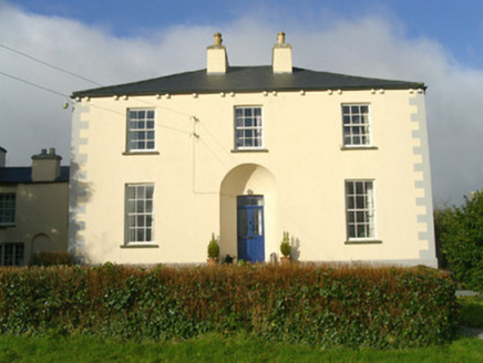 Rathbarran HouseRectory/glebe/vicarage/curate's house · 1.6 mi
Explorer Tom Rathbarran House in Rathbarran is showing off its deeply recessed door like it’s hiding a secret from the whole parish.…
 Fairy fort / earthen ringfort in RathgranFairy fort / earthen ringfort · 1.9 mi
Explorer Tom Fairy fort / earthen ringfort in Rathgran would survive a zombie attack by simply rolling over them with its heavy…
 Ballisodare GAAGAA ground · 3.6 mi
 Owenmore Gaels GAA pitchGAA ground · 3.7 mi
 Graveyard in NewparkGraveyard · 6.3 mi
Explorer Tom Graveyard in Newpark is currently on a bitter feud with the next village about whose flagstones are superior. It’s just…
More archaeology and monuments in County Sligo · All of County Sligo

What do you know about this place?Tap to add a comment or ask a question