What is recorded here
In forestry on the N slopes of the Ox Mountains, located on a natural knoll, on a shelf of rough, upland terrain, overlooked to S by cliffs. This record was listed in the RMP (1995) as ‘Miscellaneous’. It refers to a setting of stones inspected in 1967 in advance of forestry development (SMR Files), and recorded as follows: ‘Rough heathery ground full of boulders. About 10 small boulders in a row (N–S) with 4 or 5 at right angles at N end. Like footing of wall of shelter...Not a megalith. Not ancient looking.’ An inspection was carried out in 1994 but the feature was not located due to forestry cover. The area was inspected again in 2014. The knoll is thickly covered in heather and rough scrub. The top and parts of the slopes are strewn with a dense jumble of felled timber. Young trees grow on the slopes and around the perimeter. Occasional boulders and stones protrude randomly from the heather and forestry debris. On the gentle N-facing slope, just below the top of the knoll, four stones (max. dims. c. 0.5m; H 0.3m) in a close-set N-S row (L c. 2m) can be glimpsed/felt beneath thick heather. It is not possible to determine if these stones are a remnant of the structure, which may have been partly or entirely destroyed during forestry works.
Compiled by: Jane O'Shaughnessy
Date of upload: 1 August 2011
The monument record does not grant public access. Check the route and ask the landowner before entering private land.
- What survives
- Recorded monument
Places near here
 Fairy fort / earthen ringfort in LarkhillFairy fort / earthen ringfort · 611 yd
 Enclosure in LarkhillEnclosure · 847 yd
 DoomoreMountain / peak · 1.0 mi
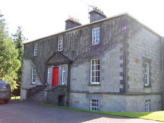 Toberfeckin Houserectory/glebe/vicarage/curate's house · 1.1 mi
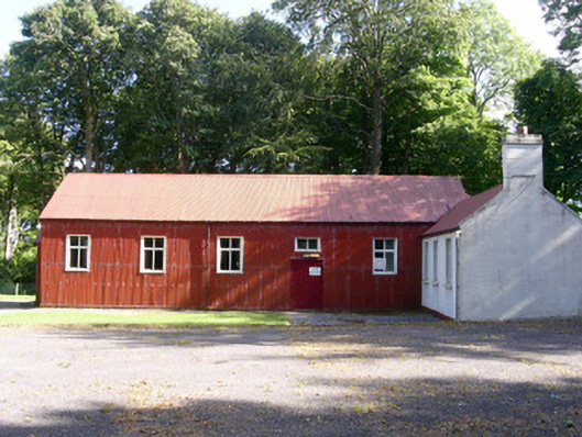 The Hallcommunity centre · 1.5 mi
 European ashEuropean ash · 1.6 mi
 Tullaghan HillMountain / peak · 1.9 mi
 Pigeonpark WoodForest · 2.0 mi
 Derinch PointHeadland · 2.1 mi
 Bawn in Longford DemesneBawn · 2.1 mi
 RinnatalleenHeadland · 2.2 mi
 IndicatedEnclosure · 867 yd