
What is recorded here
Listed in both the SMR (1989) and RMP (1995) and classified as 'Enclosure'. In rocky pasture, on the lower N-facing slopes of the Ox Mountains and within the N half of an 18th/19th-century field system (SL019-161004-). Oval area (16m N-S; 21.7m E-W) enclosed by a roughly-built wall (Wth 1.5m; H 0.5m) of stones and boulders. The interior and surrounding land is planted with coniferous trees. Upon inspection in 1994 it was concluded that this was an animal holding enclosure dating to the post-1700 AD period.
Compiled by: Archaeological Survey Unit, UCC.
Date of upload: 21 November 2011
The monument record does not grant public access. Check the route and ask the landowner before entering private land.
- What survives
- Recorded monument
Places near here
 Enclosure in LarkhillEnclosure · 50 yd
 Fairy fort / earthen ringfort in LarkhillFairy fort / earthen ringfort · 337 yd
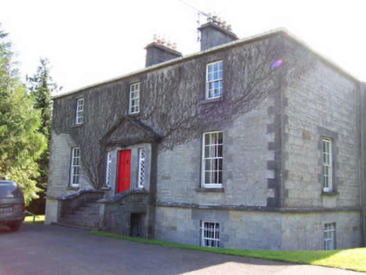 Toberfeckin Houserectory/glebe/vicarage/curate's house · 1432 yd
 DoomoreMountain / peak · 1712 yd
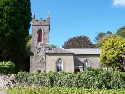 Christ Church (Dromard)church/chapel · 1.1 mi
 Derinch PointHeadland · 1.6 mi
 RinnatalleenHeadland · 1.7 mi
 Bawn in Tanrego WestBawn · 1.7 mi
 European ashEuropean ash · 1.8 mi
 Tullaghan HillMountain / peak · 1.9 mi
 Giant's GraveArchaeological place · 2.4 mi
 Lahanacappul IslandIslet · 2.7 mi
Other information
Photo: Credit not shown in the picture search · Rights wording not checked; contact us if this picture should be removed